

Quick answer: choose a fishing app by its main job—forecast, tide or flow, mapping and access, or trip logging. Start with the one job you will use on every trip, then verify local coverage, offline access, privacy and renewal terms.
Key Takeaways
- Choose by job: forecast, tides or flow, mapping and access, or a private fishing log.
- Inspect the underlying station, timestamp and official warning—not only a bite score.
- Confirm what works offline, which map layers cost extra, how location data is shared and how a subscription renews.
- A smartwatch adds quick wrist checks, activity records and general outdoor tools; it does not turn a companion app into a professional fishing app.
1. What “Best Fishing App” Should Mean
Forecasts, social maps, charts and catch journals solve different problems. Name the decision first. Use official weather and water sources for safety, then use a commercial app to organize the details. If improvement is the goal, check whether the log records effort, privacy, method, conditions and blank trips—not only catches.
2. Four Jobs a Fishing App Can Do
| App job | Useful information | What to verify | Common mistake |
|---|---|---|---|
| Forecast | Weather, wind, precipitation, pressure, water temperature or activity windows | Location, issue time, update frequency and warning source | Treating a bite score as a catch guarantee |
| Tide or flow | High/low water predictions, current guidance, gauge level or discharge | Exact station, datum, time zone and distance from your spot | Confusing tide height with current speed |
| Map and access | Shoreline, contours, waypoints, ramps, public access or satellite imagery | Coverage date, offline download, land boundaries and local access rules | Assuming a pin proves legal or safe access |
| Fishing log | Species, size, lure, method, time, place, effort, photos and actual conditions | Privacy controls, export options and whether blank trips can be recorded | Logging only successful catches and creating survivor bias |
One app may combine all four jobs, but breadth does not guarantee depth. A general weather app may present warnings better than a fishing app. An official water site may provide a clearer gauge history. A paper map or agency access page may settle a boundary question. Keep the tools that answer your recurring decisions and remove the ones that merely repeat the same forecast.

3. Fishing App Examples—Without the Hype
Commercial features move between free and paid tiers, and availability varies by operating system and country. Treat the following as examples of product direction, not a permanent ranking.
- FishAngler: combines forecasts, maps, logs and community tools. Verify local map layers, offline behavior and paid features on its current feature FAQ.
- Fishbrain: emphasizes discovery and a personal log. Review current privacy options before sharing exact locations.
- ANGLR: focuses on trips, catches and waypoints. Its FAQ shows why “offline” must be tested feature by feature.
4. Free Fishing Apps vs Paid Plans
A free fishing app can be enough when you need basic forecasts, a few saved locations or a simple catch log. Paying makes more sense when a specific premium function repeatedly changes your trip: offline maps for remote water, detailed contours for the exact lake, longer forecast horizons, private waypoint tools, exports or advanced log analysis. Do not subscribe merely to remove uncertainty. No plan can promise fish.
| Check before paying | Question to ask | Why it matters |
|---|---|---|
| Coverage | Does the app show the waters, gauges, contours and access points I actually use? | A large global map can still have weak local detail |
| Offline behavior | Can I download maps, open the log and view saved waypoints with airplane mode on? | Cached pages and true offline downloads are not the same |
| Privacy | Are catches private by default, and can exact coordinates be hidden or generalized? | A photo or shared waypoint may reveal a sensitive spot |
| Export | Can I retrieve my history in a common file format? | Your multi-year log should not be trapped in one service |
| Billing | Is the trial automatic, what is the renewal period, and where do I cancel? | The annual price may differ from the headline monthly equivalent |
| Accuracy path | Can I see the station, timestamp or source behind important conditions? | Traceable inputs are easier to verify than one composite score |
Run a one-trip test before committing. Save the location, download anything advertised as offline, turn on airplane mode, open the map and log, then export one sample entry. Check the cancellation path before starting a trial. This small test exposes more than a long feature list.
5. When a Phone Is Enough
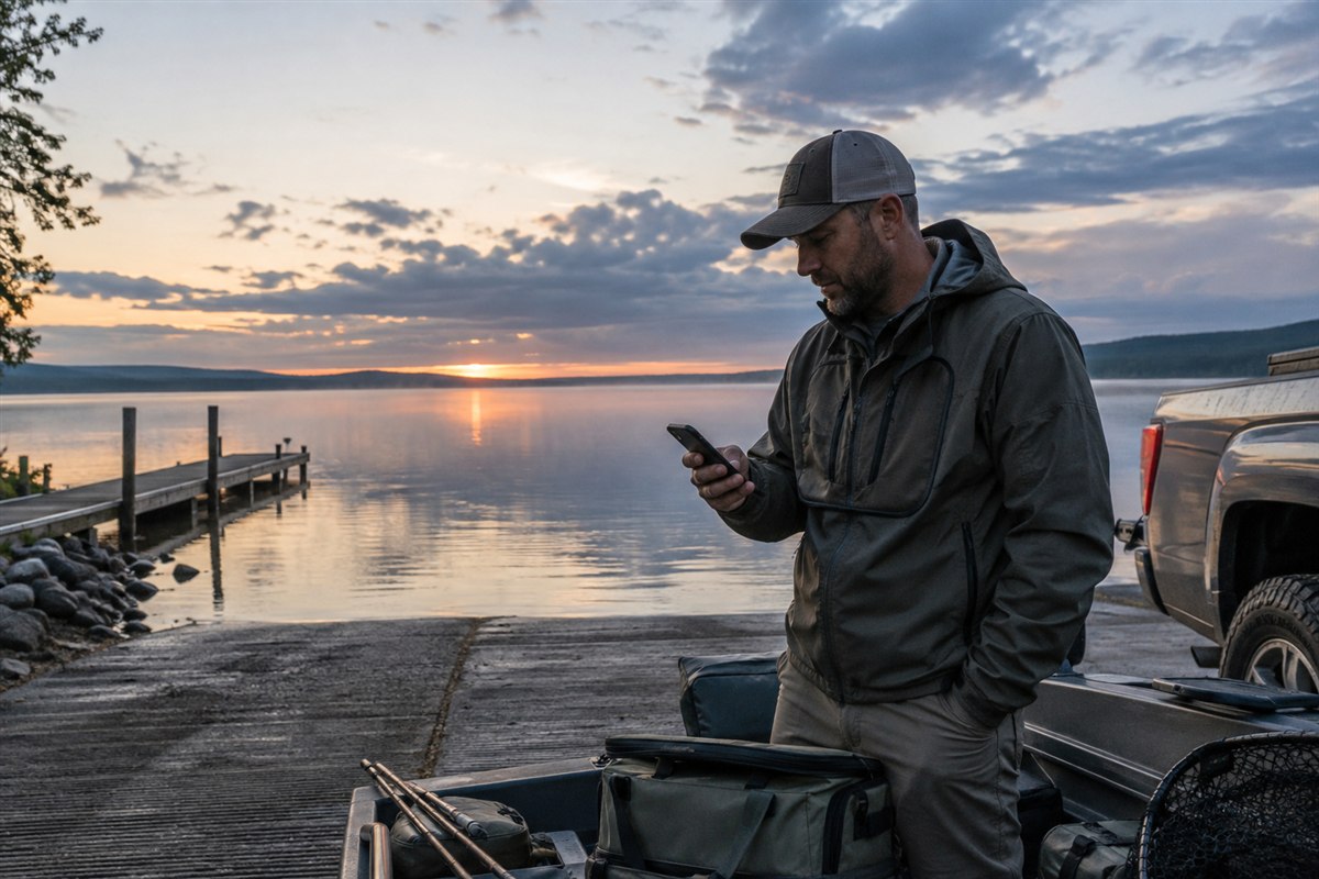
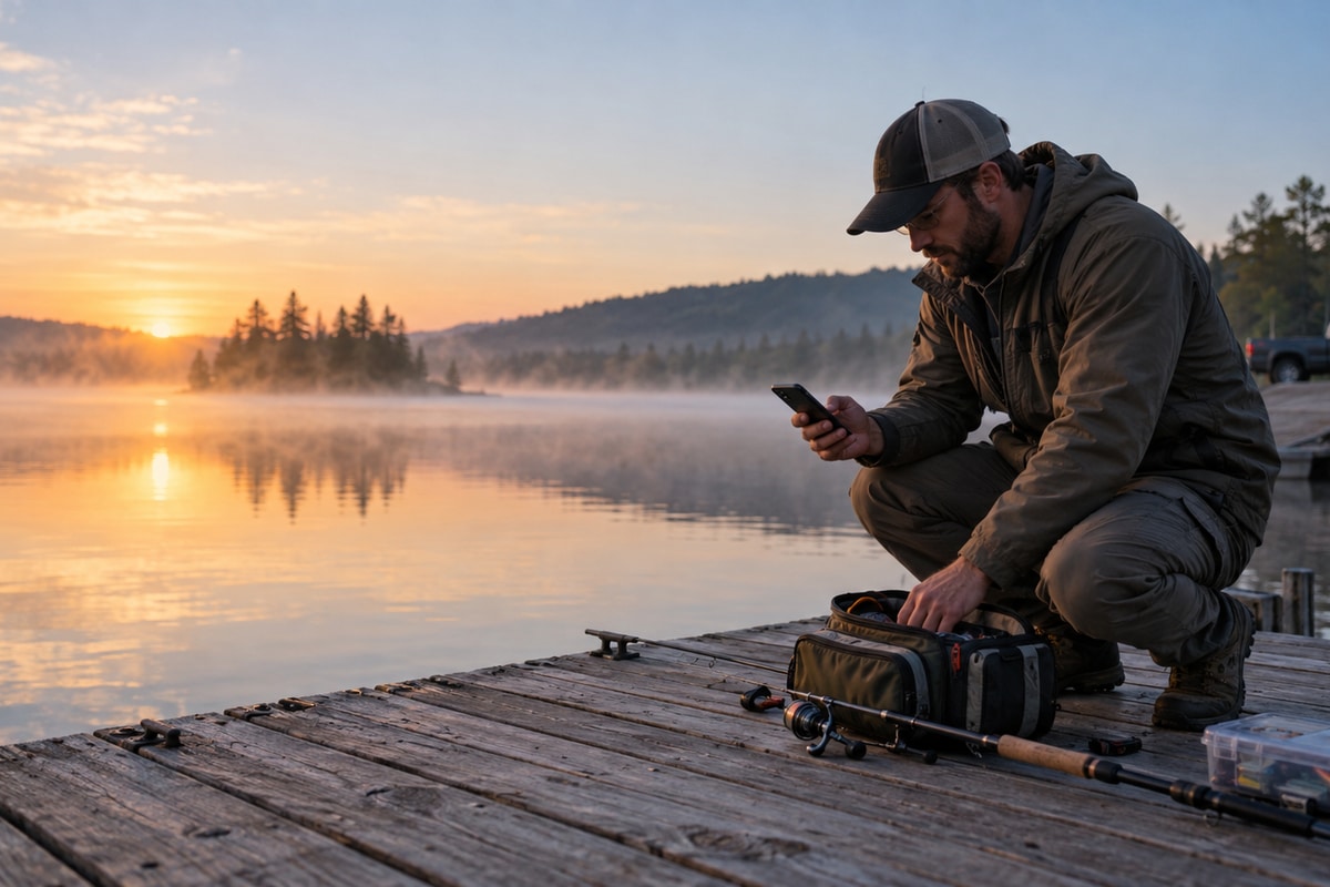
A phone is enough when its larger screen handles maps, radar, tides, regulations and logging, and you can protect it from water and dirt. Download essentials, carry power and keep an appropriate backup for remote trips.
6. What a Smartwatch Adds
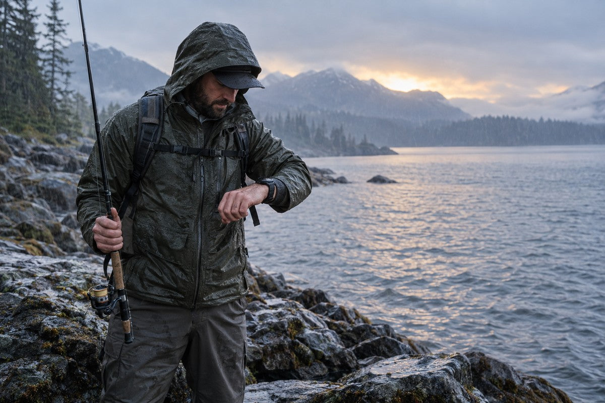
A smartwatch is most useful when the phone is packed away, your hands are wet or dirty, or you are actively moving. A quick look at time, a connected notification or a recorded route can reduce interruptions. Physical buttons may also be easier than a wet touchscreen. The benefit is convenience, not a new source of truth.
| Task | Phone strength | Smartwatch strength | Best division of labor |
|---|---|---|---|
| Forecast review | Full maps, radar animation, warning text and station detail | Brief connected alert or quick time check | Plan and verify on phone; glance at updates on wrist |
| Navigation context | Large map and route detail | Route recording, compass direction or simple return context | Use proper map detail on phone; watch supports movement awareness |
| Trip record | Photos, notes, species and lure details | Activity timing and convenient timestamps | Capture minimal facts outside; finish the log later |
| Safety decision | Official warnings and complete information | Convenient notification only when connected and configured | Never let a wrist alert replace the official source or local observation |

7. GloryFit Pro and Motion 6 GPS: The Correct Role
GloryFit Pro is the companion app used with WalkerFit Motion 6 GPS. It supports the watch connection and related everyday functions. It should not be described as a specialist fishing app like a dedicated forecast, tide, contour-map or catch-log service. You can use a professional fishing app on your phone for detailed planning while using the watch and its companion app for the wearable's own functions.
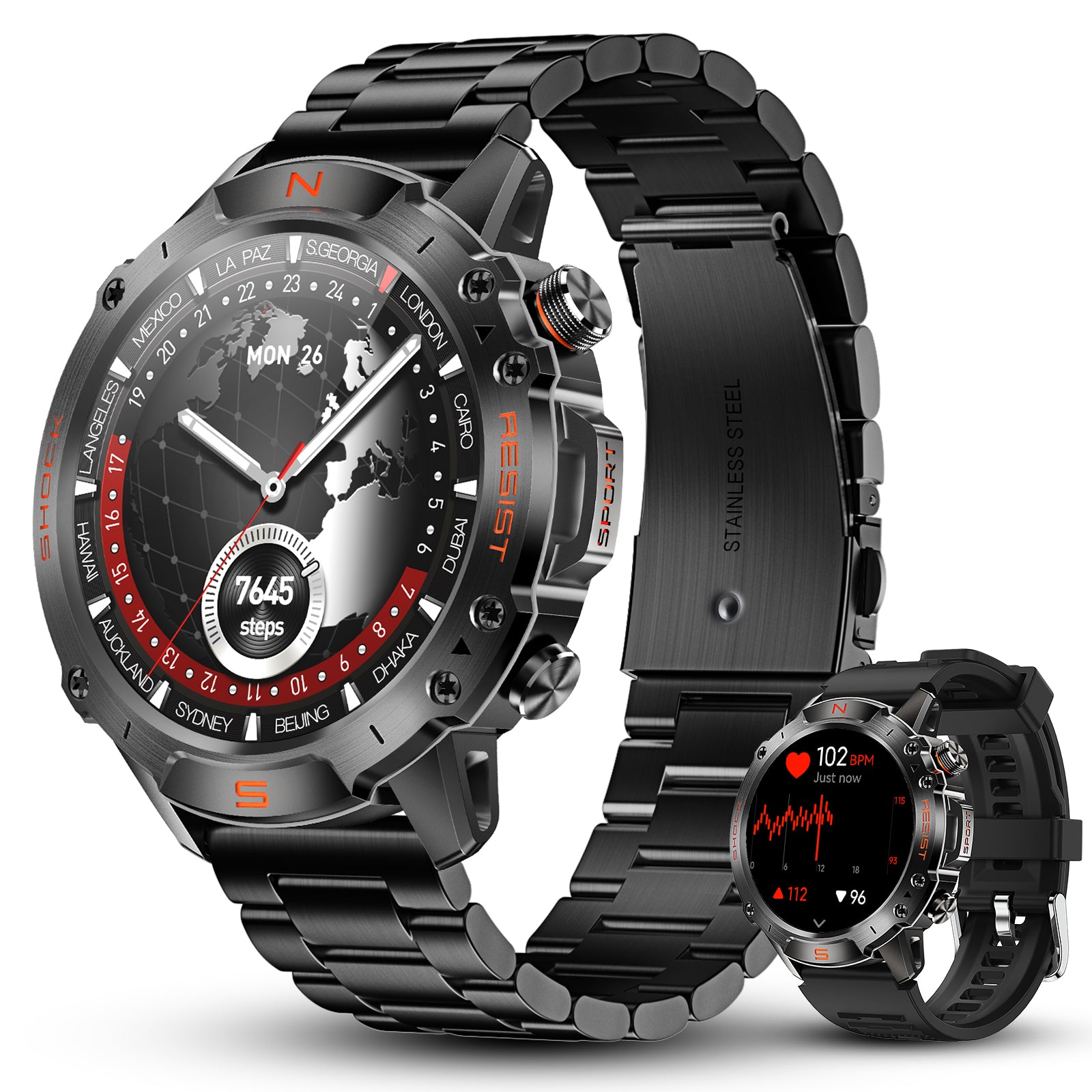
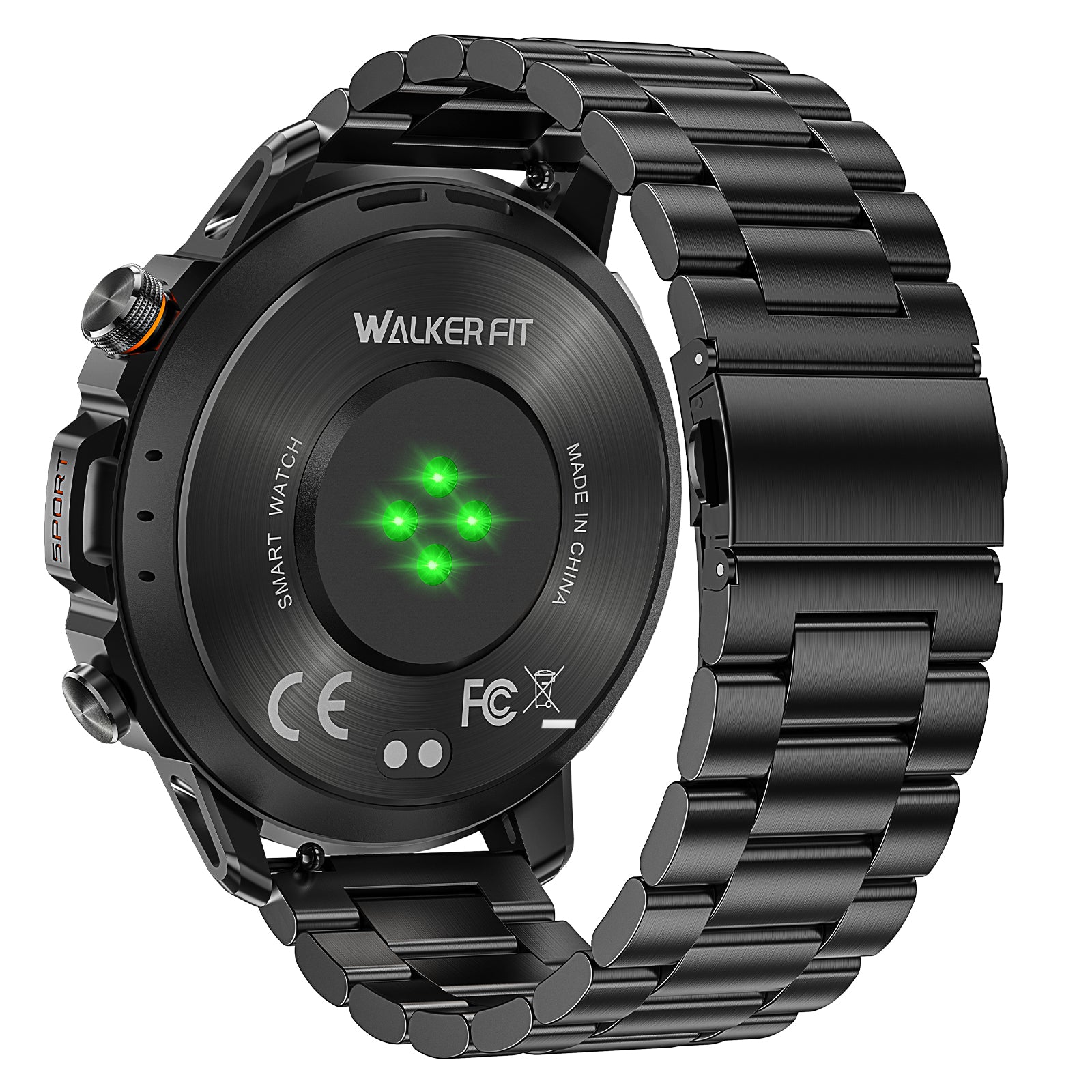
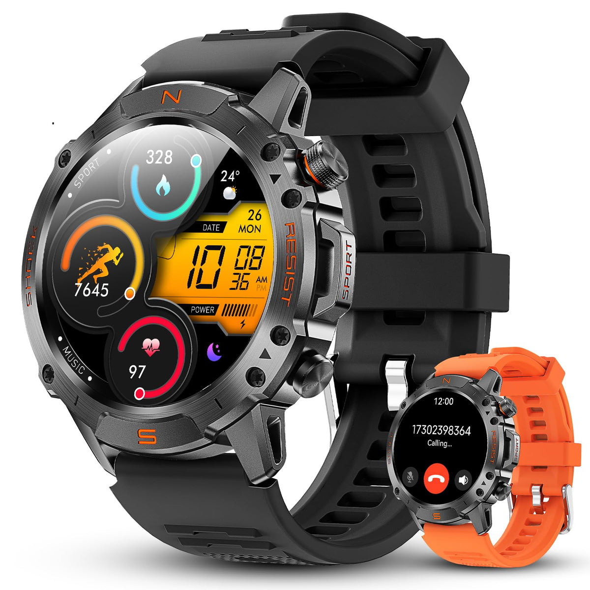
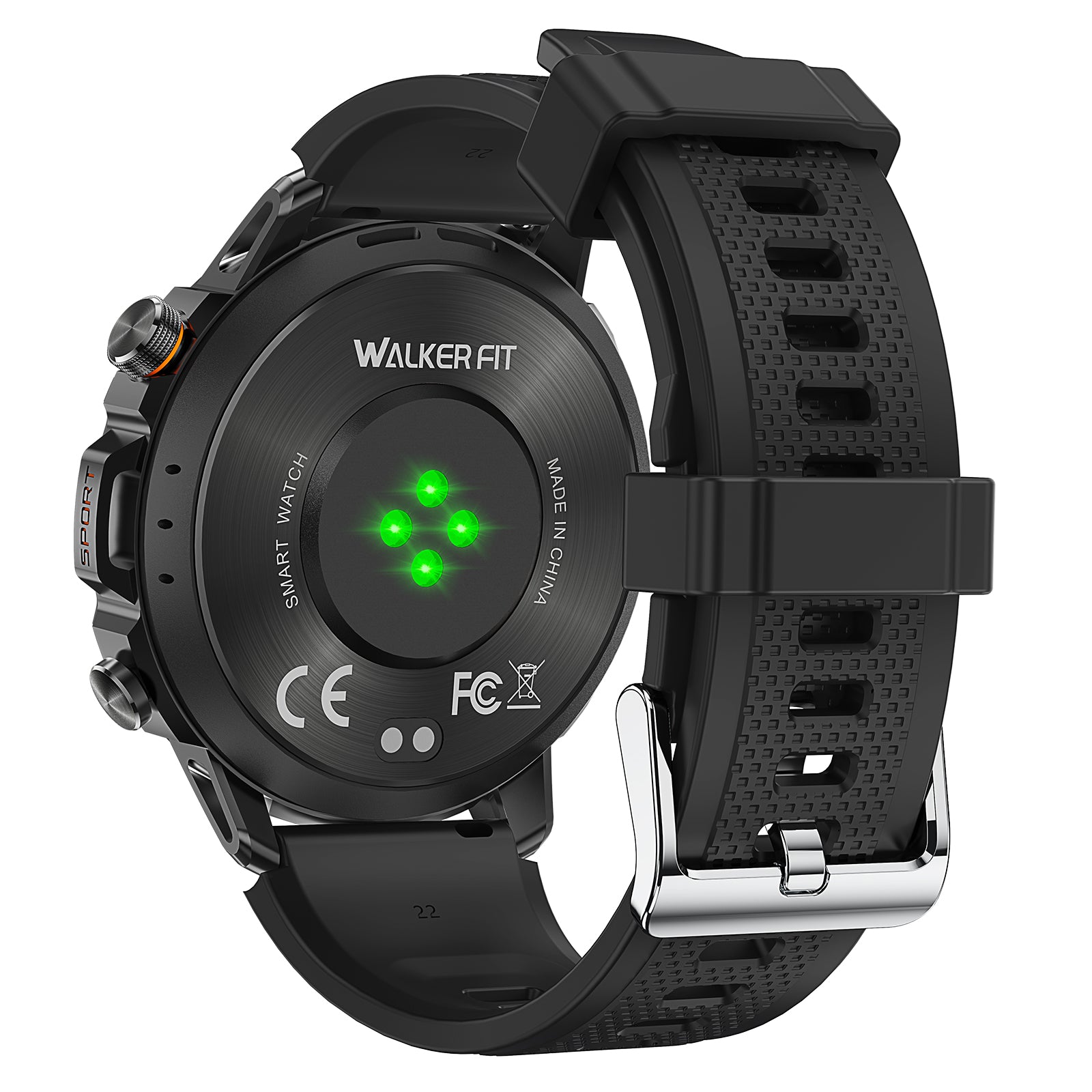
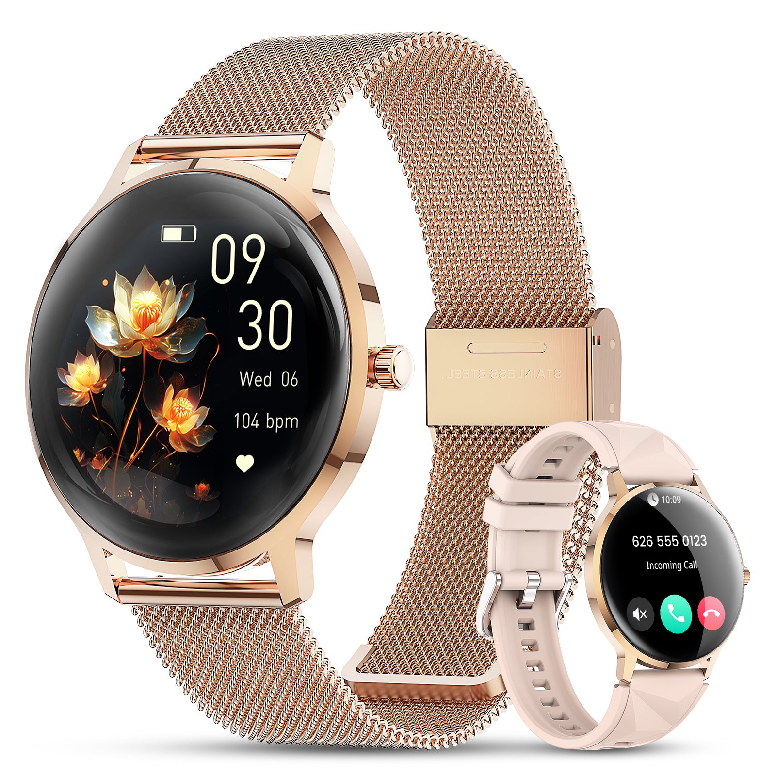
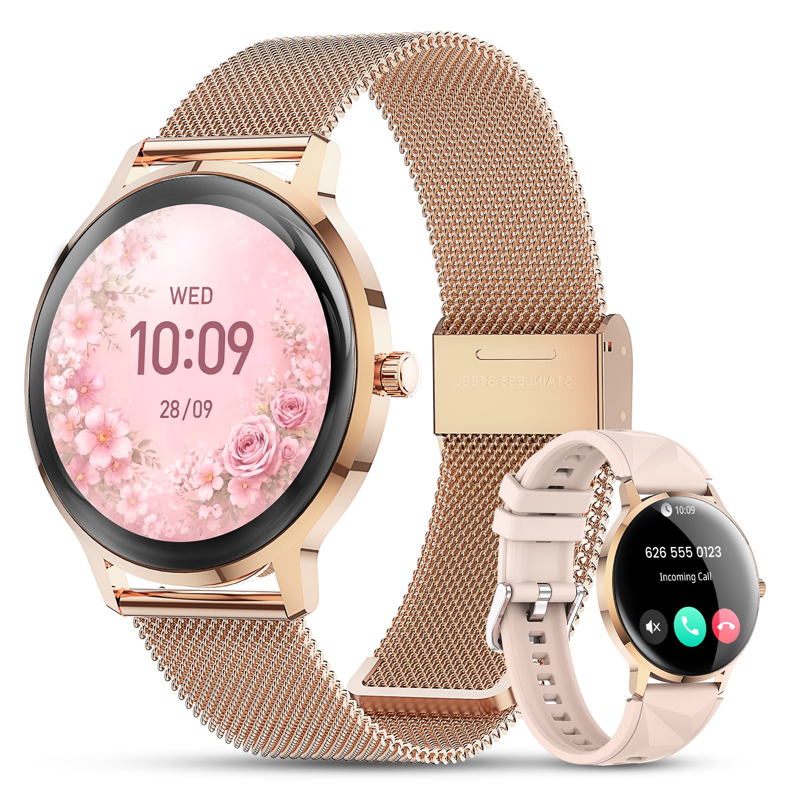
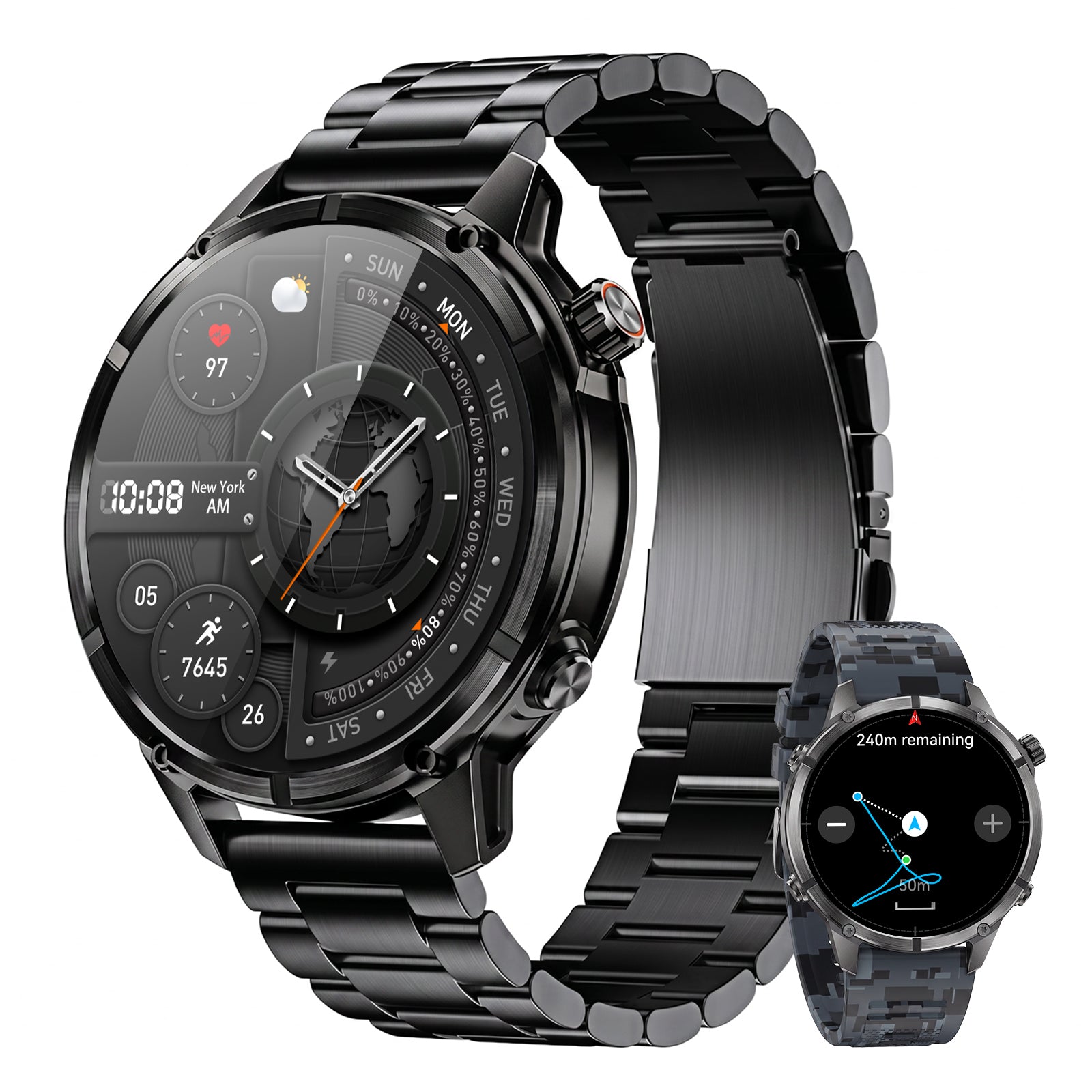
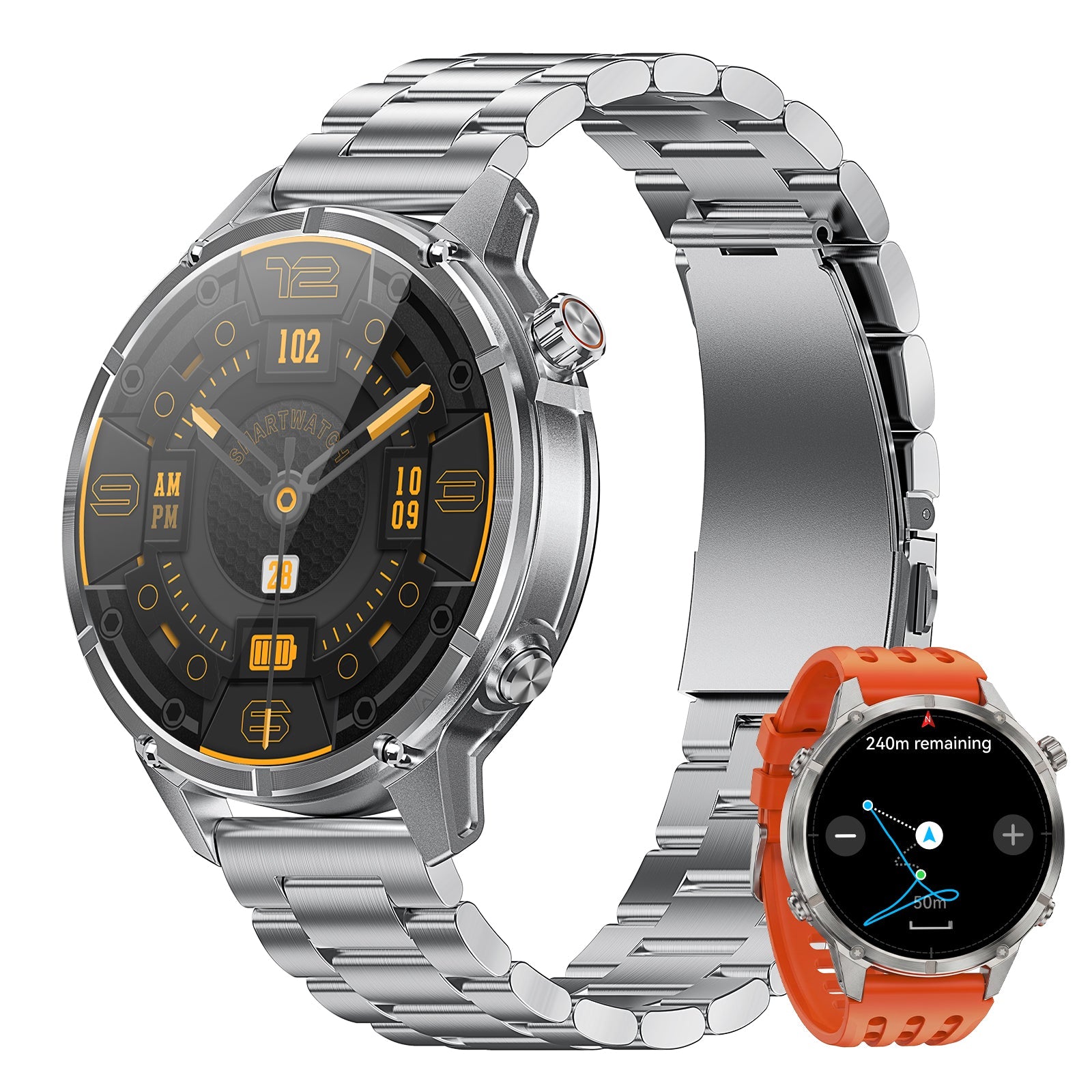
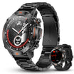
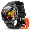
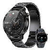
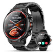
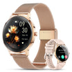
The WalkerFit Motion 6 GPS includes built-in multi-satellite GPS and route recording, compass, barometer and altimeter, a 1.43-inch AMOLED display rated up to 1,000 nits, four physical buttons and 5 ATM water resistance. Connected weather information and notifications depend on a compatible phone, app, permissions and connection. This article does not claim built-in fishing forecasts, tide tables, fishing maps, fish identification, catch logging or solunar predictions.

Motion 6 GPS
Built-in multi-satellite GPS and route recording, plus compass, barometer, altimeter, 1.43-inch AMOLED display, four physical buttons and 5 ATM water resistance.
$129.90$162.38
For a broader wearable checklist, read what anglers should look for in a fishing watch. You can also review the WalkerFit comparison page, browse outdoor watches, explore 22 mm watch bands, or check the product and setup FAQs.
8. Privacy, Offline Use and Battery Checks
Hide exact catch locations when privacy matters, and grant only the permissions the chosen features need. Download the correct map area, then test it in airplane mode. Start with charged devices and a protected backup battery; weak signal, GPS, radar and background tracking all increase power use.
- Update the app and sign in while connected.
- Download the actual map area and open it once.
- Save official warnings, access information and emergency contacts.
- Set catch and waypoint privacy deliberately.
- Confirm phone, watch and backup battery levels.
- Tell someone the route and expected return time.
9. A Simple Phone + Watch Fishing Workflow
- The night before: use the phone to review official weather, the exact tide or gauge station, access rules and the detailed map. Pick a shorter alternative if uncertainty is high.
- At the launch: compare the forecast with wind, visibility, water level, flow, temperature and access in front of you. Conditions on site can invalidate the plan.
- During the trip: keep the phone protected and use the wrist only for quick, appropriate checks. Record a route when useful, but stay aware of battery and GPS limitations.
- At each meaningful change: note time, general location, method and result. Avoid typing a full journal while handling fish or standing in an unsafe place.
- After the trip: finish the log with actual conditions and total effort, including a blank result. Compare like seasons, waters and methods before claiming a pattern.

The practical answer is not one universal winner. Choose the smallest toolset that gives you traceable conditions, dependable offline access and a log you will actually maintain. Let the phone handle detail, let the smartwatch reduce friction, and let official warnings and direct observation control safety.
Frequently Asked Questions
Q1: What is the best free fishing app?
There is no universal best option. Choose a free app whose forecast, map or log covers your exact water, then test privacy, offline behavior and source details before relying on it.
Q2: Are fishing apps accurate?
Weather, tide and gauge inputs can be useful when the station, location and timestamp are correct. A proprietary fish-activity score is an interpretation and cannot guarantee a catch.
Q3: Can a fishing app work without cell service?
Some apps allow downloaded maps, saved waypoints or log access offline, but live radar, warnings and community updates usually require data. Test the exact features in airplane mode before the trip.
Q4: Should I pay for a fishing app?
Pay when a specific premium feature—such as useful local contours, offline maps, private waypoints or exports—repeatedly improves your trips. Confirm coverage, renewal terms and cancellation first.
Q5: Is a smartwatch better than a phone for fishing apps?
No. A phone is better for maps, radar, detailed warnings and complete logs. A smartwatch can add fast wrist checks, route recording and general outdoor tools when the phone is packed away.
Q6: Is GloryFit Pro a professional fishing app?
No. GloryFit Pro is the companion app for Motion 6 GPS and related wearable functions. Use a dedicated fishing or authoritative weather and water service for specialist forecasts, maps, tides and catch logs.
Q7: What should I record in a fishing log?
Record water and general location, start and end time, active effort, target, method, lure or bait, actual weather and water conditions, catches and blank results. Keep exact spots private when appropriate.