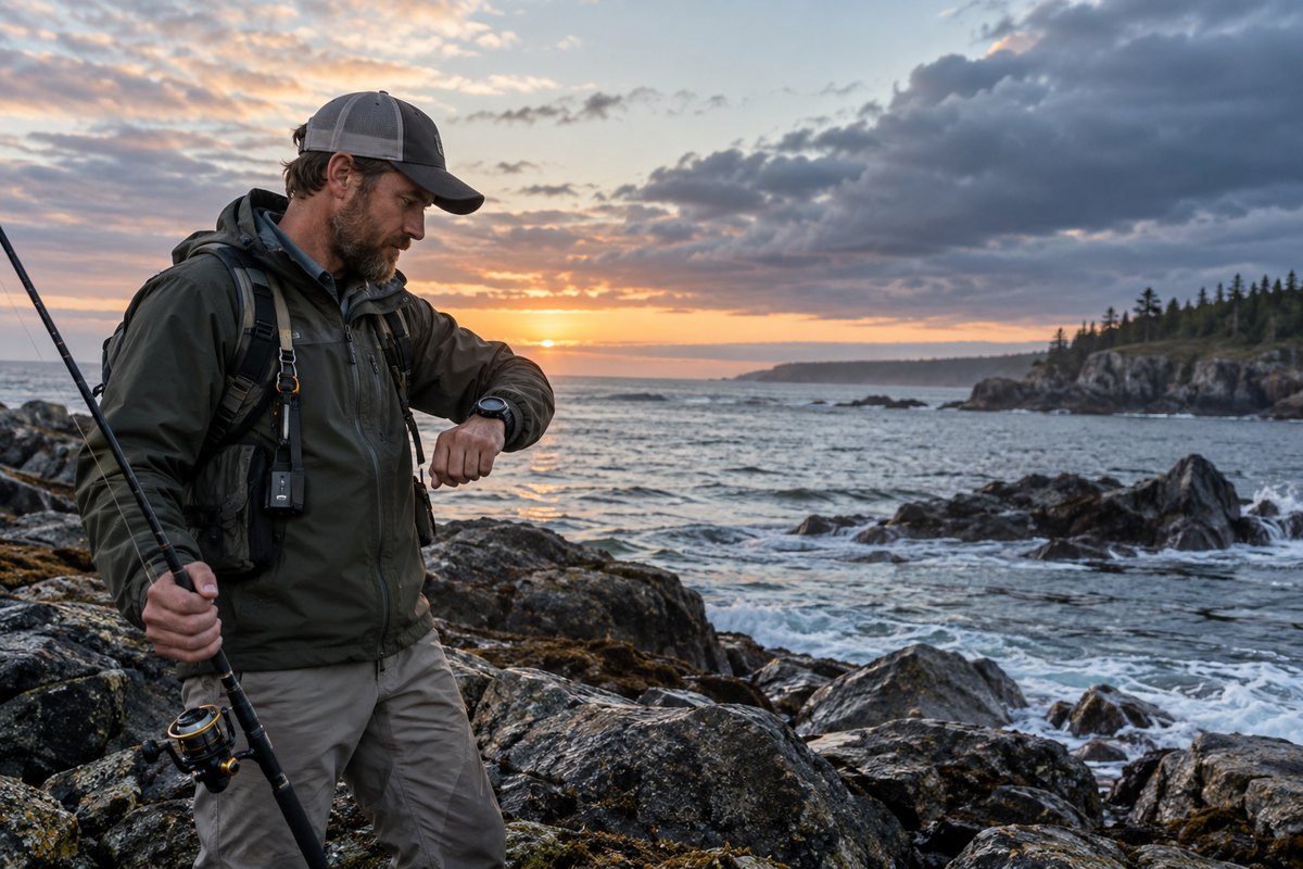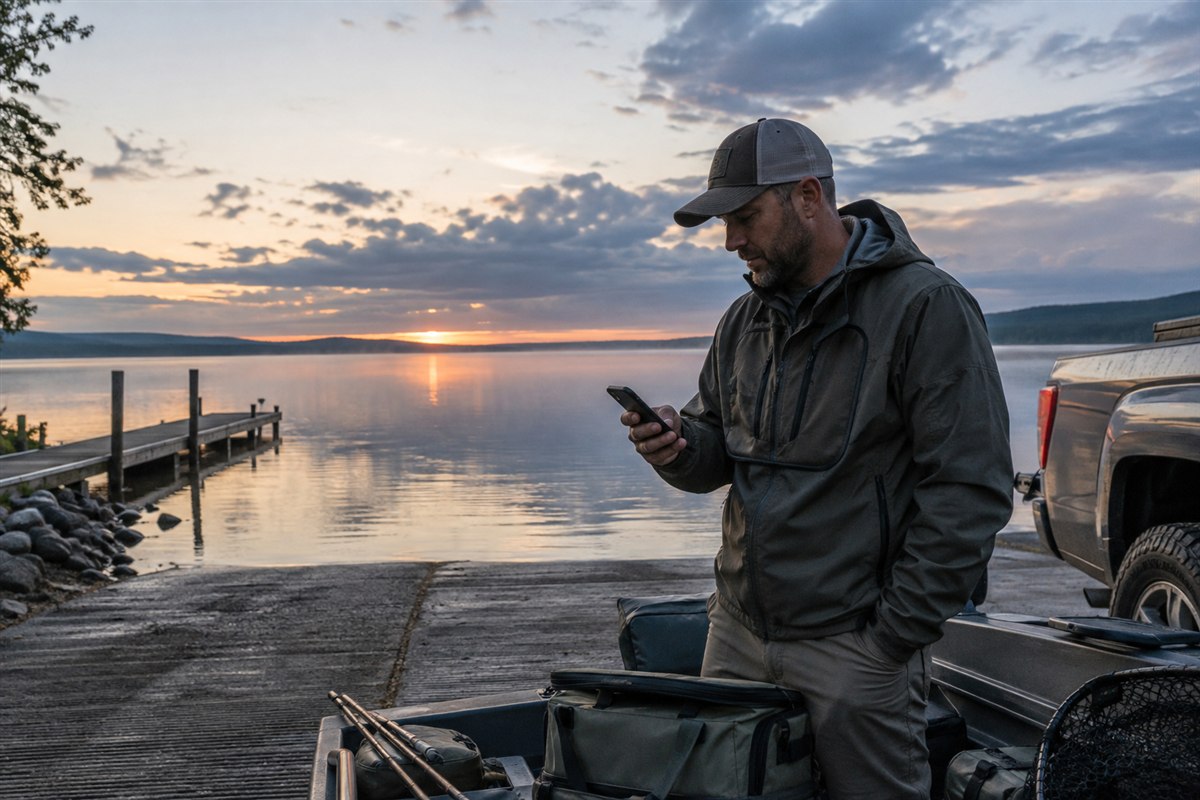


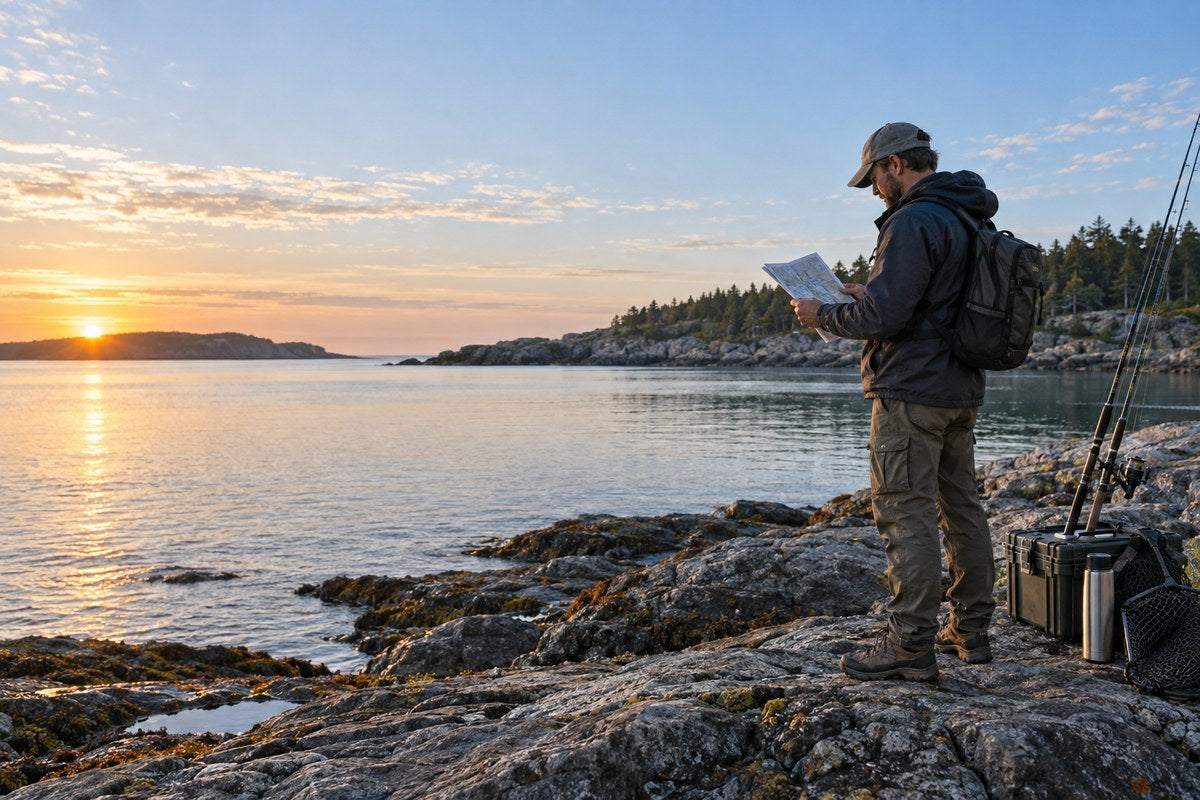
Quick method: choose the station that represents your water, confirm the date and time zone, read both time and height, then add current, weather and access. A high or low tide time does not guarantee fish activity.
Key Takeaways
- Choose a station that represents the same water—not simply the nearest city.
- Confirm date, time zone, units and datum before using the height.
- Tide height and tidal current are different; high tide does not automatically mean slack water.
- Add weather, observed water and safe access before making the trip decision.
1. What a Fishing Tide Table Actually Shows
A tide table lists predicted high and low water times and heights for one station. It can help you judge likely water over a flat, access around a shoreline or the level beside a dock. It does not predict bites, wind, waves or current speed in every channel.
2. Choose the Right Station Before Reading Any Number
The nearest station on a map is not always the station that best represents your fishing spot. Coastline shape, inlet geometry, bays, rivers and barrier islands can shift the timing and range from one location to another. Select a station associated with the same body of water and the most similar local setting you can find.
- Pin the exact spot. Note the beach, pier, creek mouth, jetty or launch.
- Compare nearby stations. A station across a peninsula may be close but describe different water.
- Save the station name and ID. Use local knowledge for context, but keep an authoritative source for the prediction.

3. Read the Time, Height, Units and Datum
Each daily row usually gives a sequence of highs and lows. Read the entire row rather than copying the single time closest to your arrival. The order shows how the water is expected to change across your planned fishing window.
| Field | What it tells you | What to verify | Common mistake |
|---|---|---|---|
| Station | The location represented by the prediction | Name, ID and relationship to your spot | Using a station from another bay or side of an inlet |
| Date and time | When the predicted high or low occurs | Local date, time zone and daylight-saving setting | Reading a table in the wrong time zone |
| Predicted height | Water level relative to the stated datum | Feet or meters and the reference datum | Treating height as water depth at every spot |
| High / low label | Whether the listed turning point is a predicted maximum or minimum | The sequence before and after your fishing window | Assuming the entire period around it is motionless |
A datum is the reference level used for height. Two sources can show different heights when they use different datums. Predicted height is also not total water depth at your spot, so use proper charts and local access information for navigation.
4. Estimate the Tide Stage During Your Fishing Window
Between low tide and the next high, water is generally rising; between high and the next low, it is generally falling. The rate is not constant, and local channels may differ from the station. Add time margin for crossings, launches and return routes.
| Observed plan window | Broad tide stage | Useful planning question | What it does not prove |
|---|---|---|---|
| After low, before high | Rising / incoming | Will water cover a flat, bar or shoreline route? | That fish will move shallow everywhere |
| Near predicted high | High-water turning period | Could access or wave reach change? | That tidal current is exactly slack |
| After high, before low | Falling / outgoing | Will a channel drain or expose structure? | That current speed is equal across the area |
| Near predicted low | Low-water turning period | Are rocks, mud, ramps or shallow hazards exposed? | That every route remains walkable or navigable |
5. Tide Height and Tidal Current Are Not the Same
NOAA summarizes the difference simply: tides describe water moving up and down, while currents describe horizontal water movement. A tide prediction gives expected water level at a station. A tidal-current prediction gives expected direction and speed at a current station. These are related, but the timing is not interchangeable.
In a simple reversing current, flood moves generally inland and ebb moves generally seaward. Slack water is the period when current speed is lowest before direction changes. It may occur near high or low tide in some places, but local geometry can create a meaningful offset. Inlets, bridges, creek mouths and narrow channels deserve their own current information rather than a guess based on the nearest high-tide time.

NOAA publishes tidal-current predictions separately from tide-height predictions. Check them when current speed or direction affects a kayak crossing, boat drift, inlet, bridge, jetty or wade route. For a broader explanation, see NOAA's guide to the difference between tides and currents.
6. Add Weather, Waves and Actual Water Levels
Astronomical tide predictions cannot account for every short-term local change. NOAA explains that wind, atmospheric pressure and river flow can cause water levels and currents to differ from tide-table predictions. Storm surge, persistent onshore wind, heavy rain and large waves can make access unsafe even when the predicted tide looks ordinary.
- Check the marine or local forecast: wind direction and speed, precipitation, thunderstorms, visibility, temperature and advisories.
- Look for real-time water levels: where an observing station is available, compare the observed level with the prediction before relying on a tight access window.
- Check waves and surf: tide height does not describe breaking-wave risk, swell period or rip currents.
- Review river flow: estuaries and tidal rivers can be strongly affected by freshwater discharge after rain or snowmelt.
- Keep an exit margin: do not let a predicted minute become the only thing protecting your return route.
Where NOAA operates an Operational Forecast System, its nowcasts and forecasts can add water level, current, wind, temperature and salinity context. Coverage is not universal, so use the products available for your area and follow local marine authorities.
7. Build a Practical Fishing-Tide Plan
A useful plan describes what you will do if conditions match the prediction—and what will make you change or cancel the trip. It should be simple enough to check at the vehicle, dock or trailhead.
Before leaving
- Save the station name, ID, date, time zone, units and datum.
- Write down the high and low times bracketing the entire trip, not only your planned start.
- Check tidal-current predictions if a channel, inlet, bridge, kayak route or boat drift matters.
- Check the latest weather, marine forecast, warnings, waves and observed water level where available.
- Confirm parking, launch, shoreline and return-route access for both the expected and higher-than-expected water level.
- Tell someone where you are going and when you expect to return; carry the safety equipment appropriate to the water and craft.

| Fishing setting | Tide-related planning focus | Extra check |
|---|---|---|
| Beach or rocks | Wave reach, exposed rocks, cut-off routes and water covering structure | Surf, swell, rip-current risk and safe retreat |
| Pier or dock | Water height against structure and likely flow around pilings | Rules, closures, wind and safe landing position |
| Tidal creek or flat | Flooding and draining windows, mud, shallow bars and channel edges | Local current timing and rapidly changing access |
| Kayak or small boat | Current direction, speed and launch/recovery depth | Marine forecast, float plan, PFD and reserve energy |
For a trip log, record the prediction source and station along with actual arrival time, visible water level, current direction, wind, clarity, temperature, target species, effort and results. After several trips, compare like with like. A productive outgoing-tide session is useful evidence about that session; it is not proof that every outgoing tide is best.
8. Where a Smartwatch Fits—and Where It Does Not
A watch can help with timekeeping, route recording and general outdoor awareness, but it does not replace an authoritative tide source. Before buying a dedicated tide device, read our tide watch guide, which explains why station coverage, data source, synchronization and offline behavior matter.
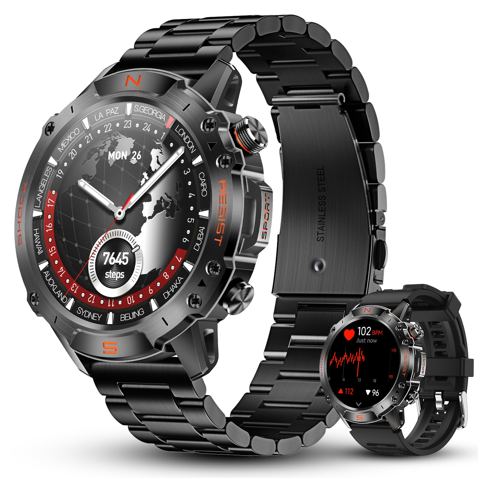
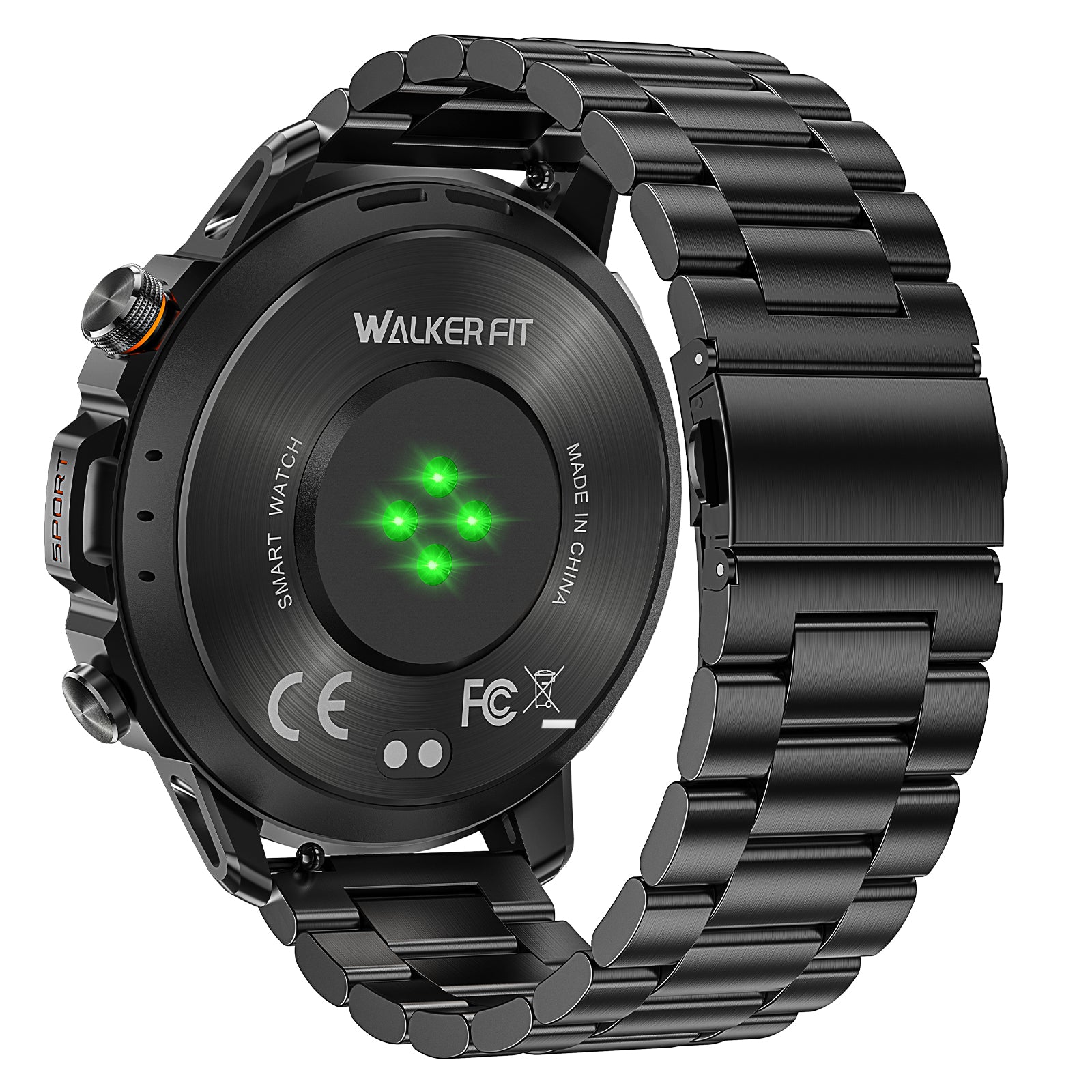
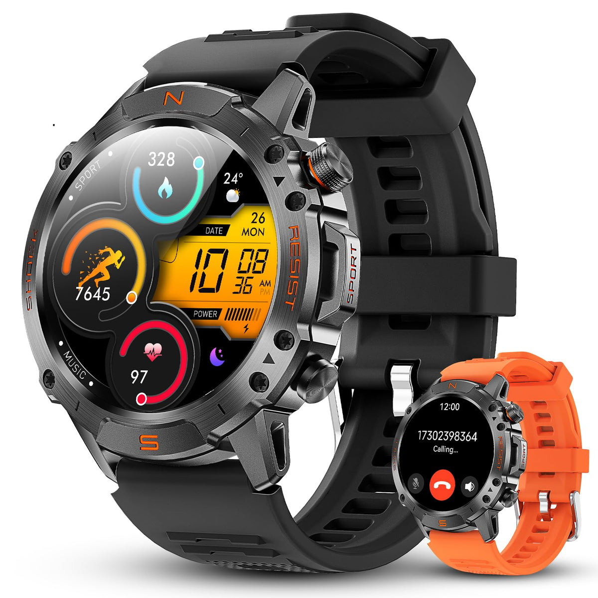
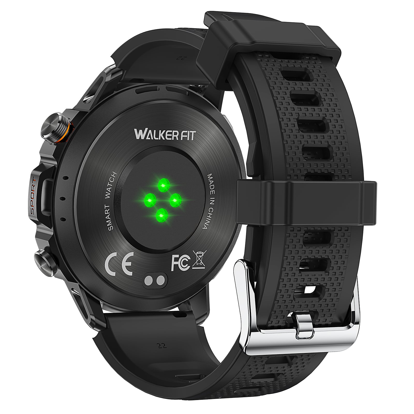
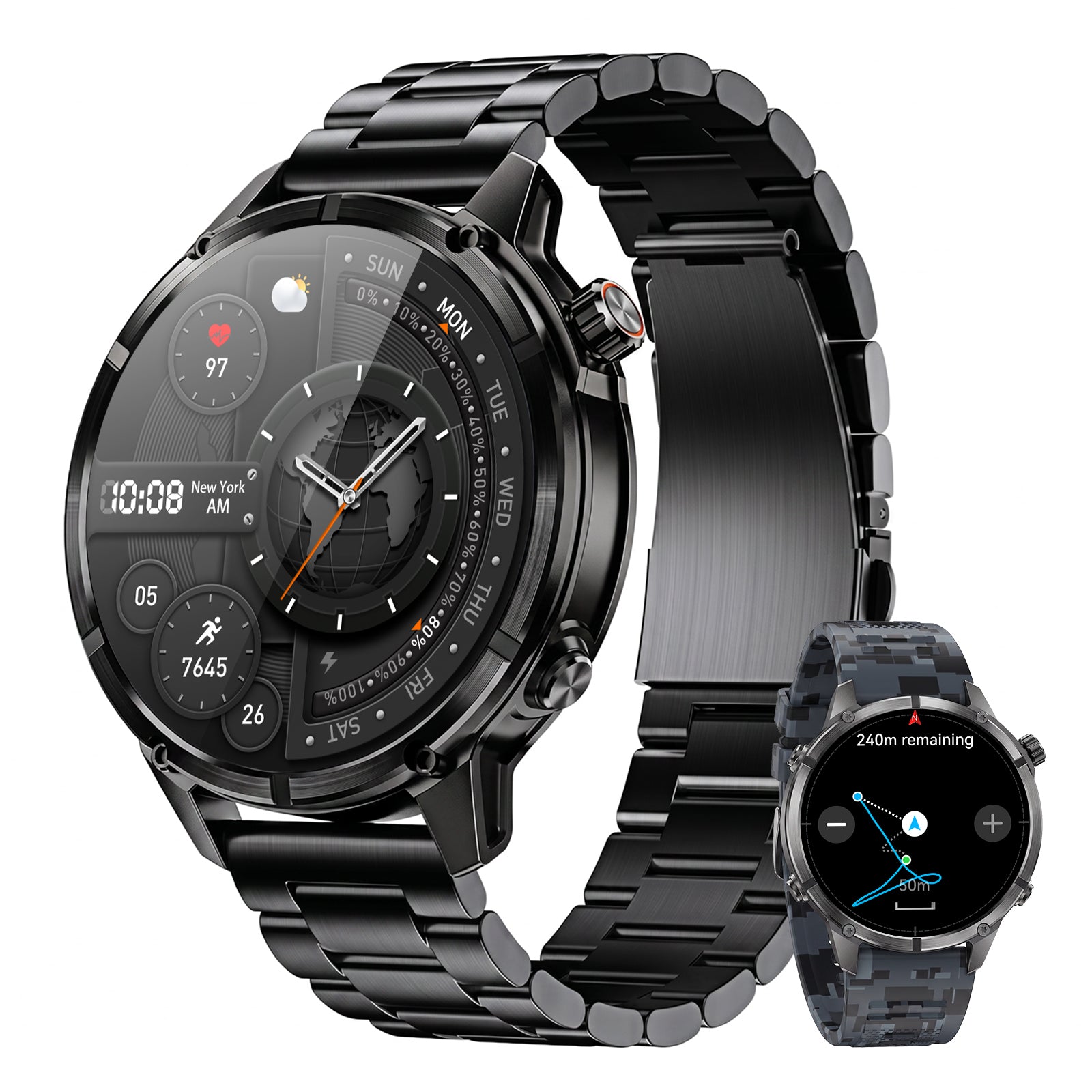
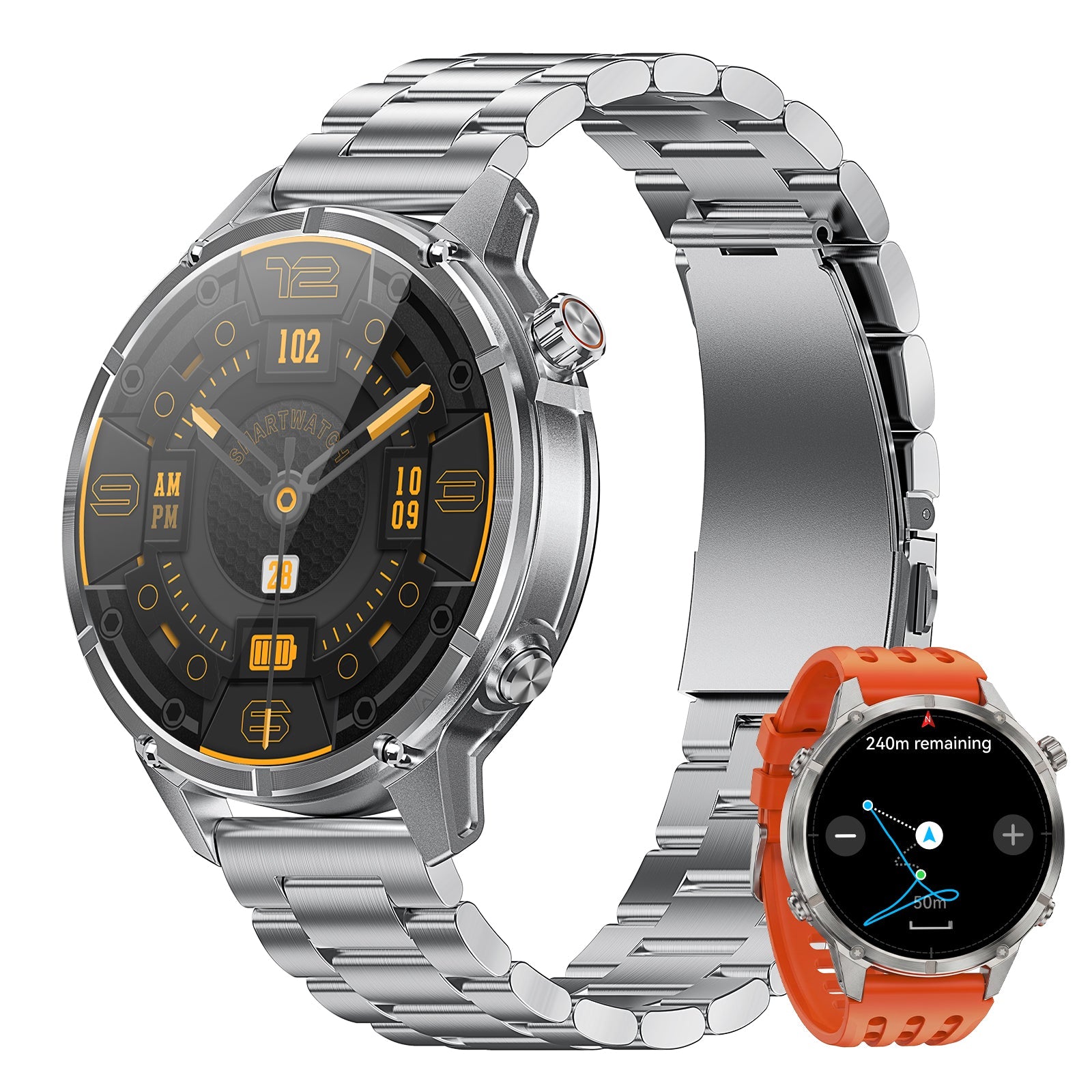
The WalkerFit Motion 6 GPS is best understood here as a general outdoor GPS smartwatch. It includes built-in multi-system GPS, route recording, compass, barometer and altimeter; its 1.43-inch AMOLED display is rated up to 1,000 nits, and it has four physical buttons and 5 ATM water resistance. This article does not claim that Motion 6 GPS contains a built-in tide table, predicts tidal current, forecasts fishing success or replaces official marine information.

Motion 6 GPS
Built-in multi-satellite GPS and route recording, plus compass, barometer, altimeter, 1.43-inch AMOLED display, four physical buttons and 5 ATM water resistance.
$129.90$162.38
If you are comparing GPS, water resistance, controls and comfort for fishing, use the broader fishing watch buying guide. You can also compare current models on the WalkerFit comparison page, browse outdoor watches, or review 22 mm watch bands for wet-weather comfort and fit.
9. Common Fishing-Tide Mistakes
- Using the wrong station: distance alone does not guarantee the same timing or tide range.
- Ignoring the time zone: a one-hour error can move the entire plan, especially around daylight-saving changes.
- Reading height as depth: a predicted height is relative to a datum, not the depth under your boots or hull.
- Equating high tide with slack current: current timing can be offset and should be checked separately where it matters.
- Planning to the minute: predictions are a model of the astronomical tide, while real water responds to weather and local conditions.
- Calling one stage “best”: species, habitat, season, water clarity, current and angler presentation all affect results.
- Leaving no return margin: a safe trip plan should tolerate a delayed departure or higher-than-predicted water.
10. The Practical Verdict
To use tides for fishing, begin with the correct station and read the whole prediction window. Confirm time zone, units and datum; separate vertical tide height from horizontal current; then add weather, waves, real-time water levels and local access. The result is not a magic bite forecast. It is a clearer, safer plan for when and how you will reach the water.
Frequently Asked Questions
Q1: Is high tide or low tide better for fishing?
Neither is universally better. The useful stage depends on the species, habitat, season, water clarity, current and access. Compare your results on the same water instead of applying one rule everywhere.
Q2: How do I choose a tide station for fishing?
Choose a station on the same body of water and with the most similar coastal or estuary setting. Confirm the station name and ID, and check local timing differences when your spot is inside a creek, inlet or bay.
Q3: What does tide height mean?
It is the predicted water level relative to a stated vertical datum at the prediction station. It is not the total water depth at every nearby fishing location.
Q4: Does high tide mean the current is slack?
Not necessarily. Tide height and current are different measurements, and slack current may occur before or after local high or low water. Use a tidal-current prediction when current timing matters.
Q5: Why is the actual water level different from the tide table?
Tide tables primarily predict the astronomical tide. Wind, atmospheric pressure, river flow, waves and storms can push actual water levels away from the prediction.
Q6: How far in advance can I plan with tide tables?
NOAA allows U.S. tide predictions to be generated well in advance, but weather and local safety checks should be updated close to the trip. A long-range tide prediction is not a long-range marine-weather forecast.
Q7: Does Motion 6 GPS show fishing tides?
This article does not claim a built-in tide table. Motion 6 GPS provides general outdoor tools including built-in GPS, route recording, compass, barometer and altimeter; use an authoritative tide source separately.