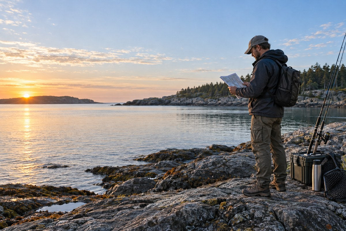


Short answer: today is a reasonable day to fish only when official warnings, access and local water conditions support a safe trip. Use forecast scores, pressure and moon data to refine a safe plan—not to overrule it.
Key Takeaways
- Check warnings, access and the return route before looking at any fish-activity score.
- Use the exact location and fishing window; regional daily ratings can hide local wind or water problems.
- Tide, flow, pressure and moon data add context. None guarantees a catch.
- Keep a simple trip log so your decisions improve with local experience.
1. A Five-Minute “Should I Fish Today?” Check
- Open official warnings. Stop if lightning, wind, flooding, surf, ice or visibility is outside your limits.
- Check the whole trip window. Include travel, setup and the return—not only the first hour.
- Check the correct water source. Use tide and current on the coast; use flow, gauge or release data inland.
- Add fishing context. Review recent rain, water clarity, temperature, pressure trend and daylight.
- Choose green, yellow or red. Go as planned, reduce the plan, or stay home. A high fishing score never changes a red safety decision.
2. What the Forecast Inputs Mean
Fishing apps combine different inputs, so two services may rate the same day differently. Open the details behind the score and ask whether the location, update time and data fit your actual spot.
| Forecast input | What it can help describe | What it cannot prove | Best source or check |
|---|---|---|---|
| Weather | Wind, temperature, lightning and visibility | Fish behavior | Official local or marine forecast |
| Tide or flow | Expected water level or discharge | A universal best bite stage | Official station or gauge |
| Pressure | Rising, steady or falling trend | A magic number | Consistent local observation |
| Sun and moon | Daylight and astronomical timing | Guaranteed catch | Reliable astronomical data |
3. Start With Safety, Access and Rules
Check current warnings, lightning, wind, temperature, waves, visibility, flood risk and closures. Confirm licenses, seasons and area rules with the responsible agency. For U.S. coastal and Great Lakes trips, start with the National Weather Service marine forecast map. Refresh the source shortly before departure.
4. Read Weather for the Exact Window
Use the hourly forecast for travel, setup, fishing and the return. Check wind direction as well as speed: one shore may be protected while another is exposed. Compare the forecast with nearby observations, and reduce the plan when they disagree.

5. Match the Water Source to the Location
Coastal anglers should use the correct tide and current station. NOAA’s Tide Predictions lets U.S. users choose station, date, units and time zone. Our fishing-tide tutorial explains how to read those fields.
For rivers and reservoirs, check flow, gauge height, releases, recent rain, clarity and access instead. Always note the station and timestamp.

6. Use Pressure and Moon Data as Context
Read barometric pressure as a trend, not a magic number. The pressure guide shows how to record it consistently. Moon and solunar timing can be a tie-breaker between two safe windows, but research results vary by species and fishery. Neither should replace weather, water or local knowledge.
8. Where a Smartwatch Helps—and What It Cannot Replace
A general outdoor smartwatch can reduce friction during a trip. Time, connected notifications, route recording, compass direction and a local pressure reading may be easier to glance at on the wrist than on a phone stored away from water and dirt. That convenience does not turn the watch into an official forecast source, marine navigator, tide station or emergency device.
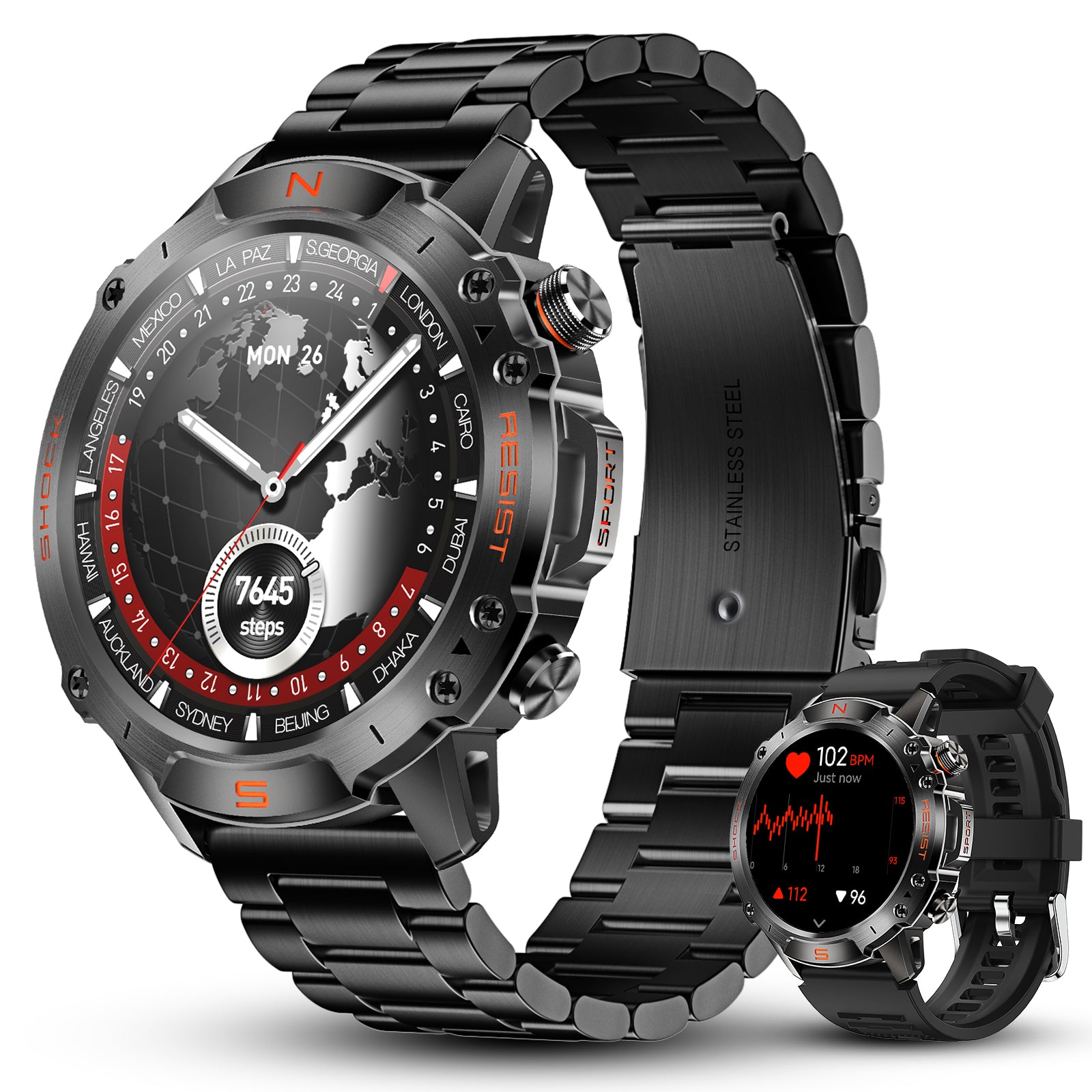
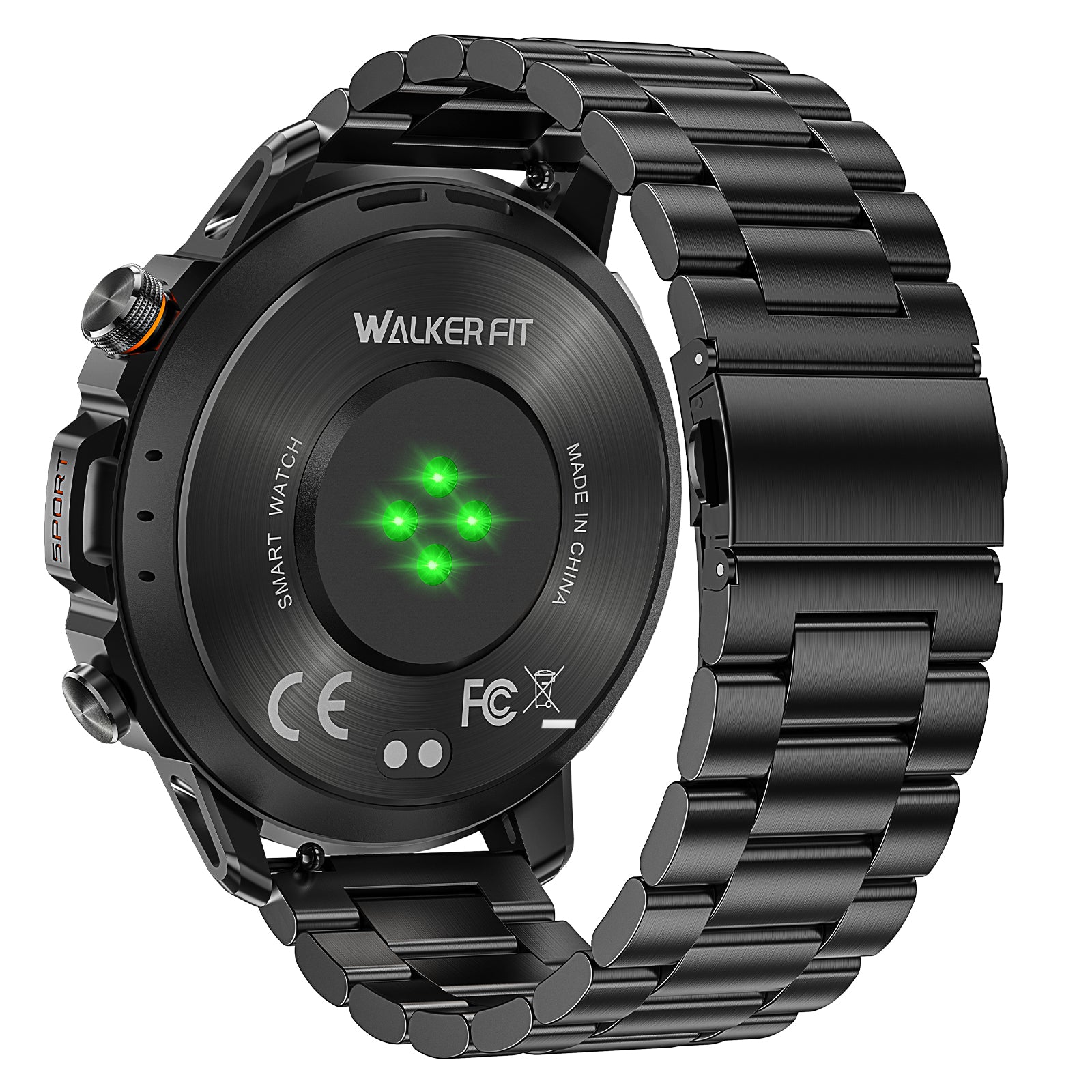
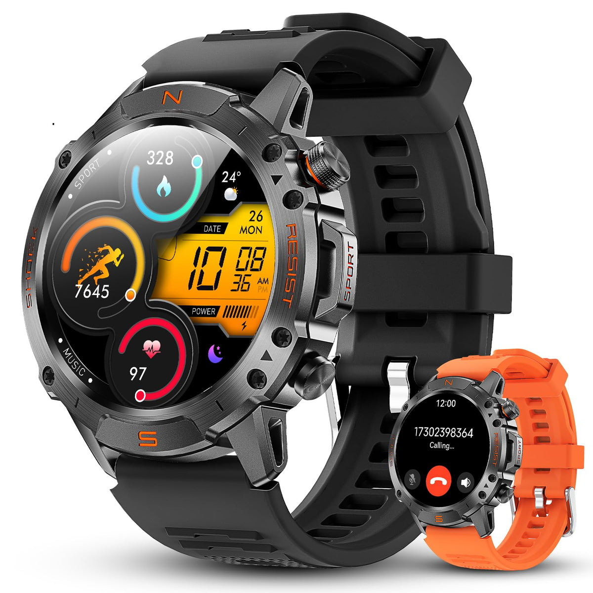
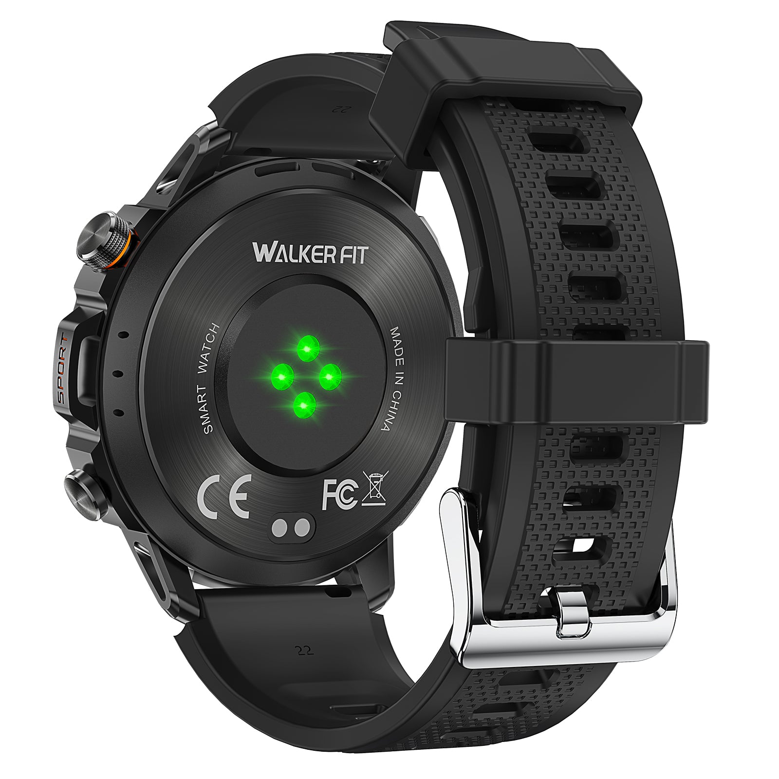
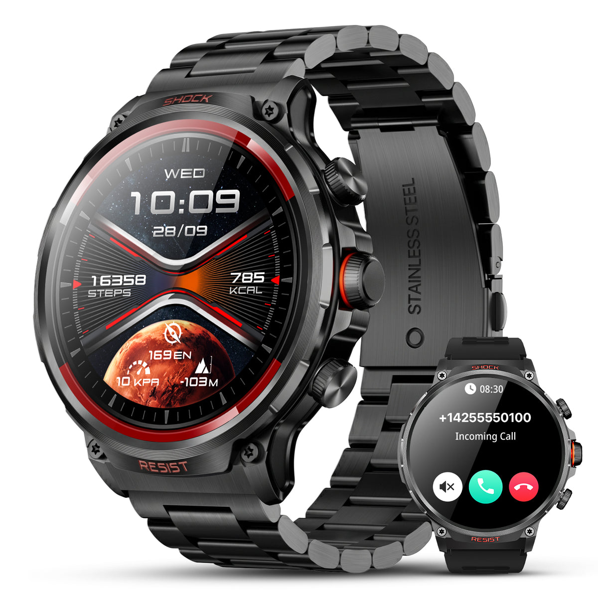
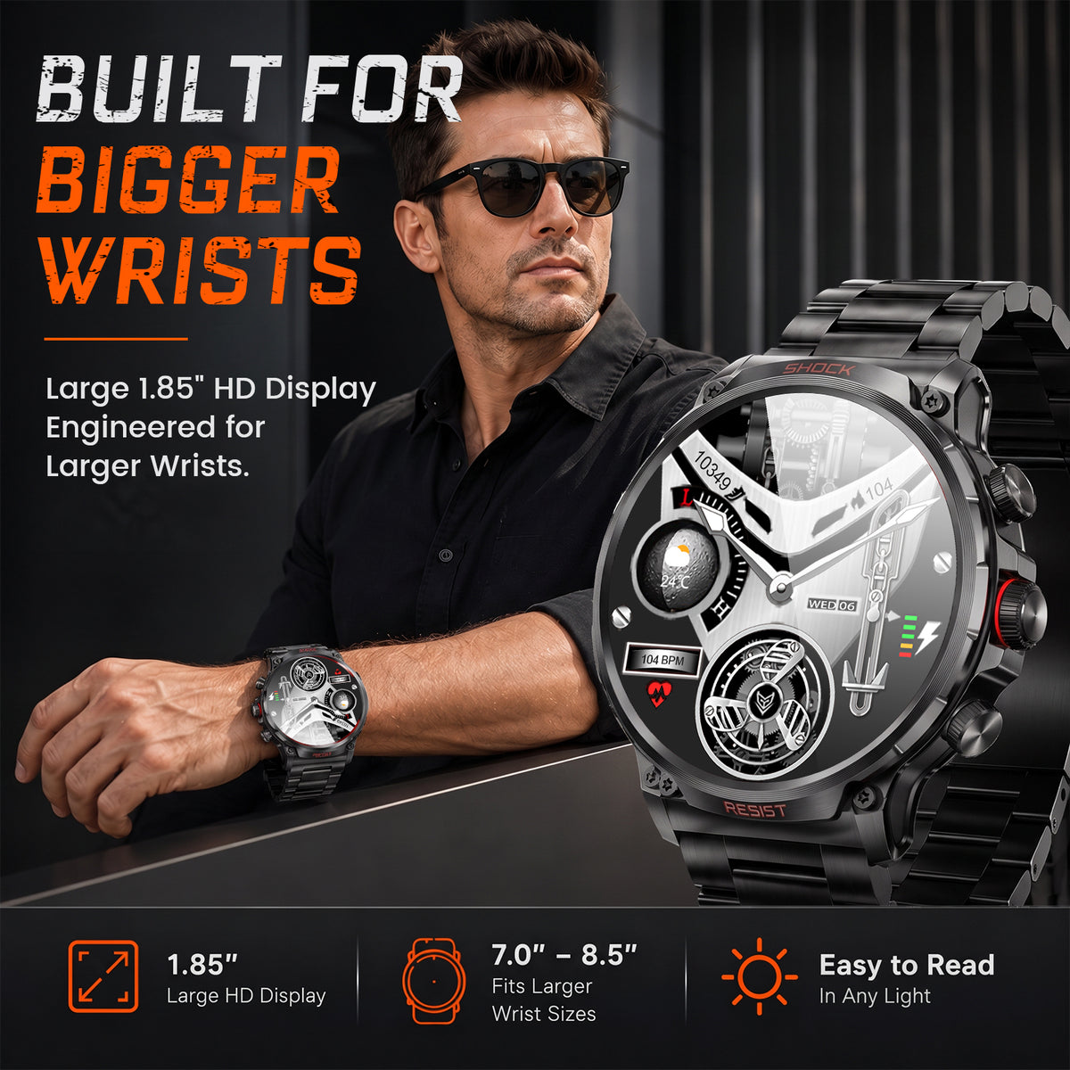
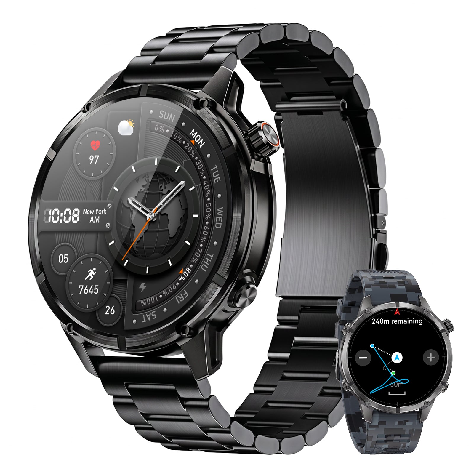
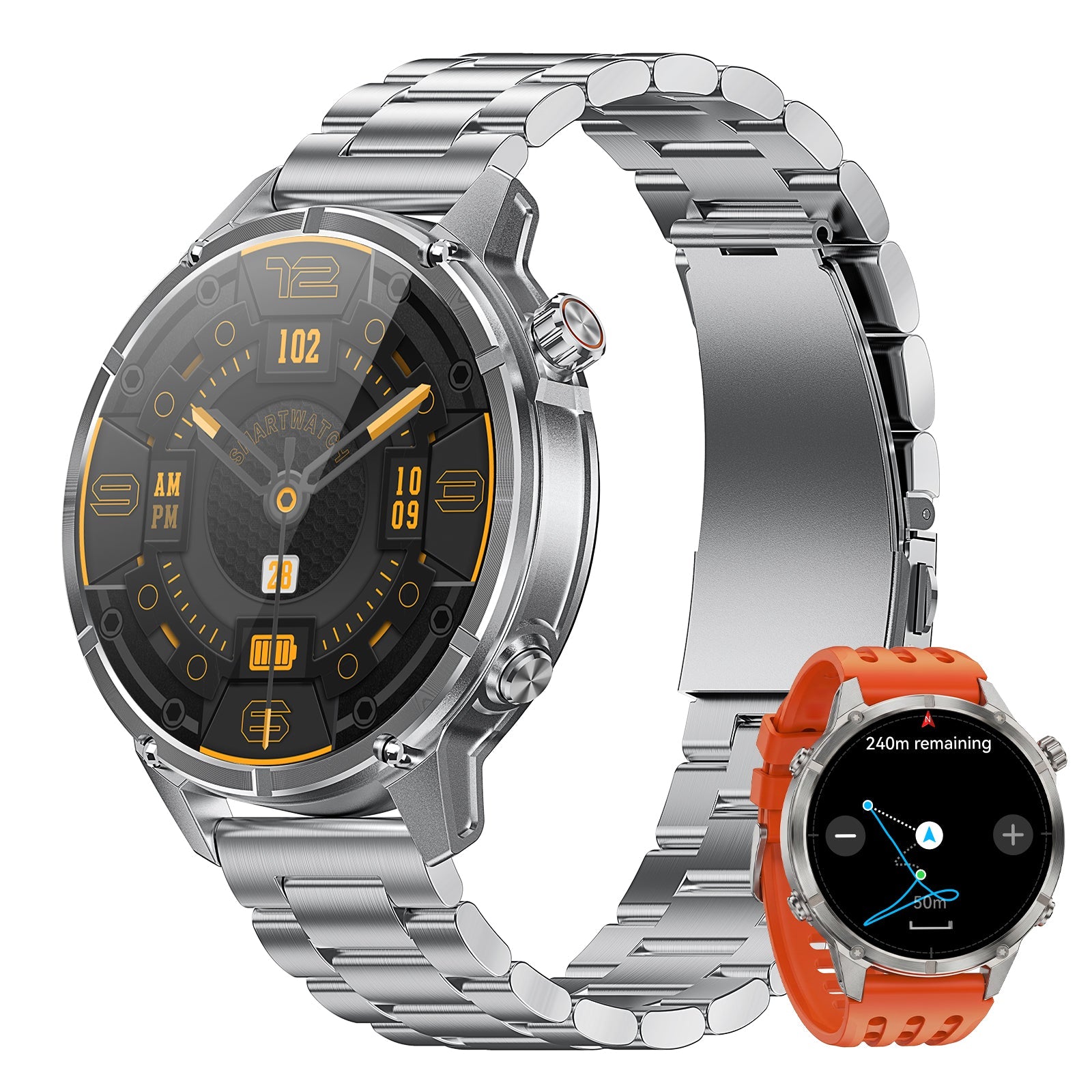
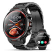
The WalkerFit Motion 6 GPS includes built-in multi-satellite GPS and route recording, compass, barometer and altimeter, a 1.43-inch AMOLED display rated up to 1,000 nits, four physical buttons and 5 ATM water resistance. Its connected weather information and notifications depend on a compatible phone and app. This article does not claim that it provides a built-in fishing forecast, solunar calendar, tide table, marine warning service or guaranteed fish-activity prediction.

Motion 6 GPS
Built-in multi-satellite GPS and route recording, plus compass, barometer, altimeter, 1.43-inch AMOLED display, four physical buttons and 5 ATM water resistance.
$129.90$162.38
For a broader comparison of GPS, water resistance, controls and everyday use, start with the fishing watch buying guide. You can also use the WalkerFit comparison page, browse outdoor watches, review 22 mm watch bands, or check the product and setup FAQs.
9. Build a Fishing Calendar From Your Own Records
A generic forecast improves when you compare it with consistent local observations. The goal is not to prove a favorite rule after one good day. It is to build enough comparable records to notice when a pattern repeats—and when it does not.
| Record | Minimum detail | Why it matters |
|---|---|---|
| Place and effort | Water body, general area, start/end time and minutes actively fishing | Separates a short stop from a full session |
| Weather | Wind, temperature, cloud, precipitation and major changes | Preserves the actual conditions, not yesterday’s forecast |
| Water | Tide stage or flow, clarity, temperature if known, and visible change | Connects results to the local water rather than a regional score |
| Astronomy | Daylight window and optional moon/solunar event | Lets you test the hypothesis without treating it as fact |
| Method and result | Target, presentation, depth or habitat, catches and missed opportunities | Prevents environmental data from hiding a method change |

Compare similar seasons, species, locations and methods. Include blank days and canceled trips; otherwise the log becomes a collection of successes that exaggerates patterns. After enough outings, use your notes to choose between safe windows. Keep the conclusion modest: “I have done better here under these conditions” is useful; “this phase always produces fish” is not.
10. The Practical Verdict
Is today a good day to fish? It is a reasonable day when official warnings and local observations support a safe trip, access and return are reliable, and the water and timing fit the species and method you intend to use. Weather, tides or flow, pressure, daylight and moon information can help you refine that decision. None can guarantee a catch.
The best fishing forecast is therefore a process: start with safety, verify the exact location and timestamp, inspect the underlying inputs, keep a plan B and record what happened. That process remains useful even when the final answer is “not today.”
Frequently Asked Questions
Q1: What is the best day to go fishing?
There is no universally best day. Choose a safe window with suitable access and water conditions for the target species and method, then use local experience and a trip log to refine the choice.
Q2: Are fishing forecasts accurate?
The underlying weather, tide or flow data can be useful when the source, location and time are correct. A combined fish-activity score is an interpretation and should not be treated as a guaranteed catch forecast.
Q3: Does moon phase affect fishing?
Research results vary by species, fishery, gear and method. Moon phase can be recorded as context or used as a tie-breaker between otherwise suitable trips, but it is not a universal predictor of success.
Q4: Is barometric pressure more important than weather?
No. Pressure is part of the weather context. Check the full forecast and safety conditions first, then use pressure as a trend alongside wind, temperature, precipitation and local water information.
Q5: What should coastal anglers check first?
Start with marine warnings, wind, waves, lightning, visibility and safe access. Then check the correct tide and current stations for the location. A favorable tide does not cancel a hazardous forecast.
Q6: How can I make a fishing calendar more useful?
Record actual location, effort, method, weather, water conditions and results after every trip, including poor sessions. Compare similar trips instead of judging a rule from one memorable catch.
Q7: Does Motion 6 GPS include a fishing forecast or solunar calendar?
This article does not claim those built-in functions. Motion 6 GPS provides general outdoor tools such as built-in GPS, route recording, compass, barometer and altimeter; use authoritative forecast and water sources separately.