

What makes a fishing forecast app useful?
A good app makes a decision easier. It should tell you whether the trip is safe, when conditions change, and which part of the day deserves attention. Start with hourly wind, gusts, precipitation and temperature. Add tide and current for coastal water, river level or flow for moving water, and waves or swell for open water.
Many fishing apps also calculate an activity or bite score from weather, moon, pressure and community data. Treat that number as a prompt to investigate, not a verdict. The same score can describe very different water, seasons and species.
| Feature | Why it matters | Question to test |
|---|---|---|
| Hourly wind | Changes casting, boat control and safe access. | Can you see direction and gusts, not only average speed? |
| Rain and radar | Shows timing and movement of weather. | Does the app link clearly to official warnings? |
| Water data | Tide, flow, waves or temperature can reshape the plan. | Is the station relevant to your exact water? |
| Location forecast | A nearby city may not match a lake, river or coast. | Can you select a waypoint or water body? |
| Offline access | Service often weakens near water. | What remains visible after airplane mode is enabled? |
Three kinds of fishing forecast app
Fishing-first forecast apps
Tools such as FishAngler and Fishbrain combine weather with fishing locations, logs, species or community information. FishAngler says its forecast uses weather, water temperature, pressure and moon phase and can show windows for a selected waypoint or water. Fishbrain combines a multi-day forecast with maps, catch information and fishing recommendations. Their free and paid limits change, so check the current listing before subscribing.
Trip-recording apps with conditions
ANGLR centers on trip recording, waypoints and catch data while adding weather and water context. This is useful when your main goal is to compare conditions with your own results. It is less useful if you only want a quick forecast and never plan to maintain a log.
Official weather and water sources
A fishing app should sit beside—not replace—official alerts, marine forecasts, river gauges and local notices. The official source is the safety layer; the fishing app is the planning layer.

A 15-minute forecast workflow
- Open official alerts. Check lightning, severe weather, flood, heat, cold and marine warnings first.
- Choose the exact water. Confirm the app is not showing a distant city or station.
- Read the whole trip window. Include the return period, not only the planned first cast.
- Add the water variable. Tide, flow, waves, swell or water level may matter more than a bite score.
- Save a Plan B. Pick a sheltered bank, safer launch or shorter route before conditions worsen.
- Download or screenshot essentials. Test what survives without a signal.

Should you pay for a fishing forecast app?
Use the free version for several real trips before paying. A subscription earns its place when it removes a repeated task: longer hourly forecasts, exact-location data, useful map layers, saved waypoints, offline access or exportable records. Do not pay only because a colored score looks precise.
Also inspect renewal terms and permission requests. Location access can be necessary for a local forecast, but it should match how you use the app. Exact catch locations deserve extra care.
Use the phone for the forecast and the watch for local context
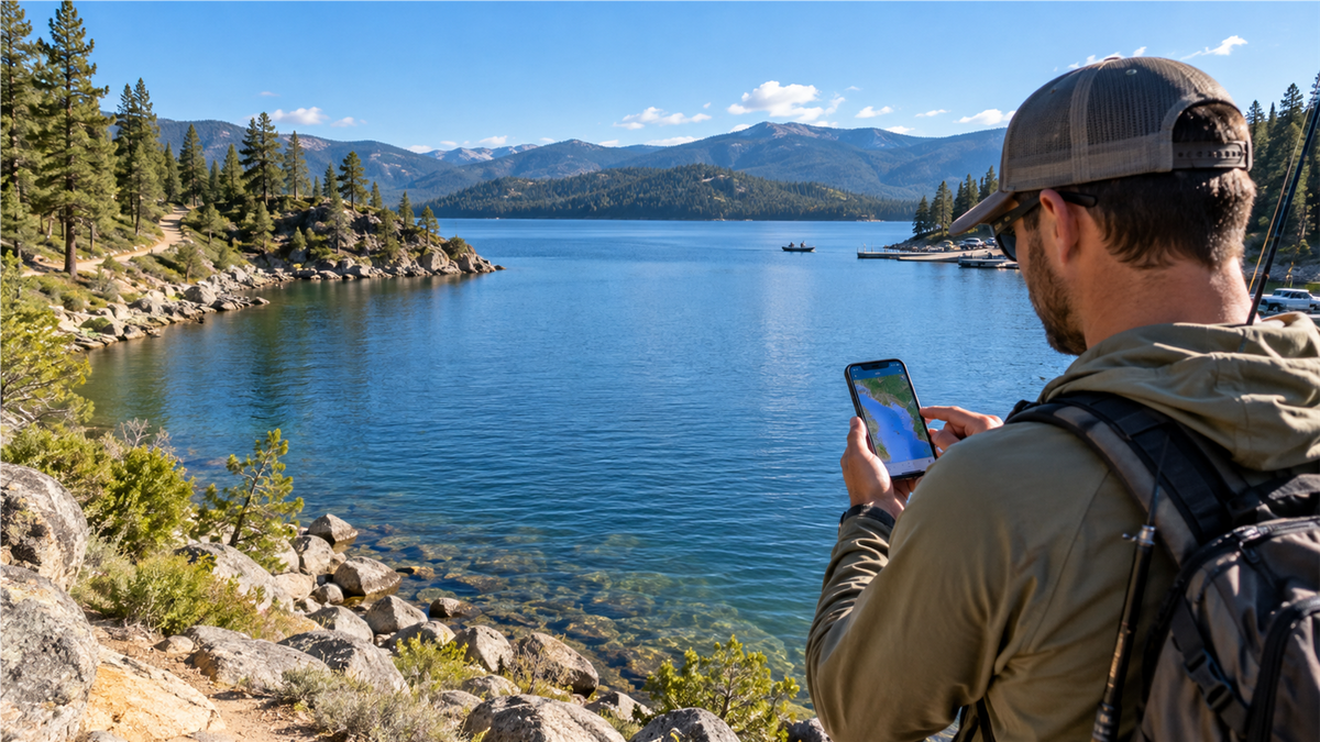
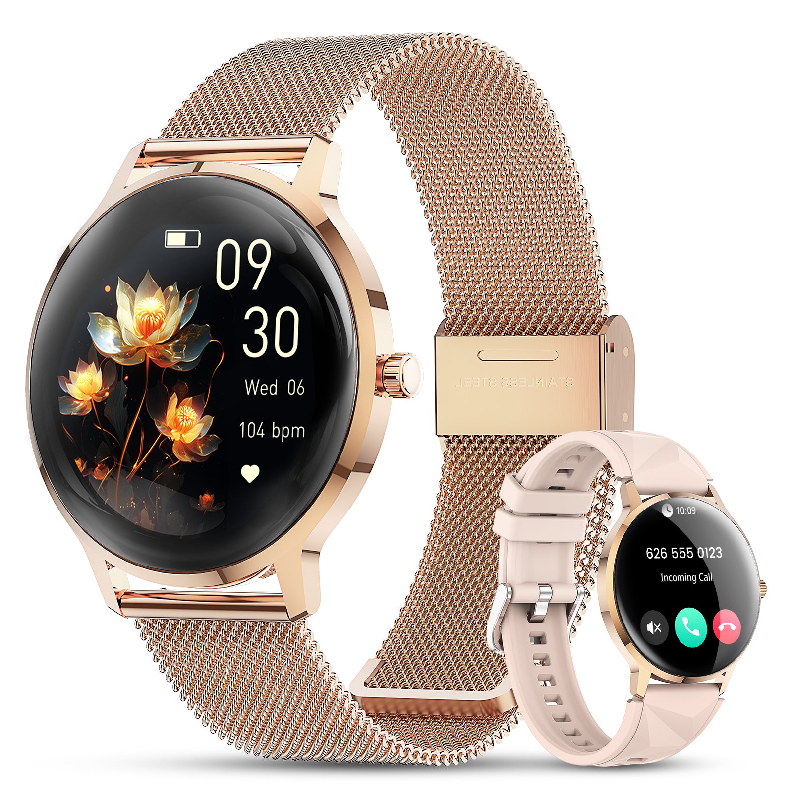
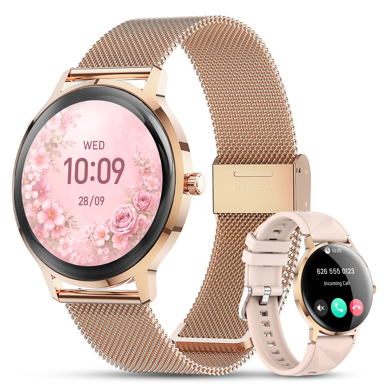
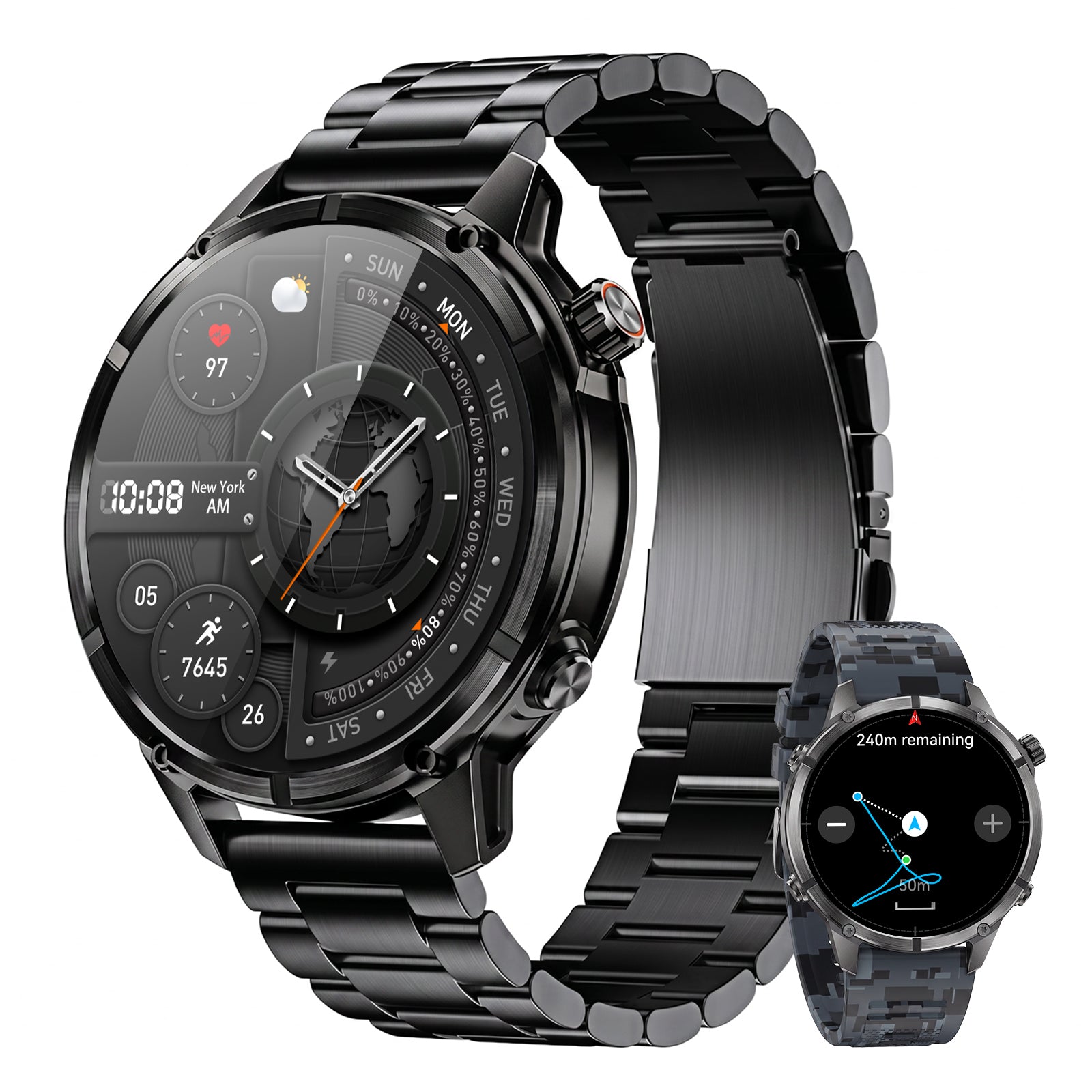
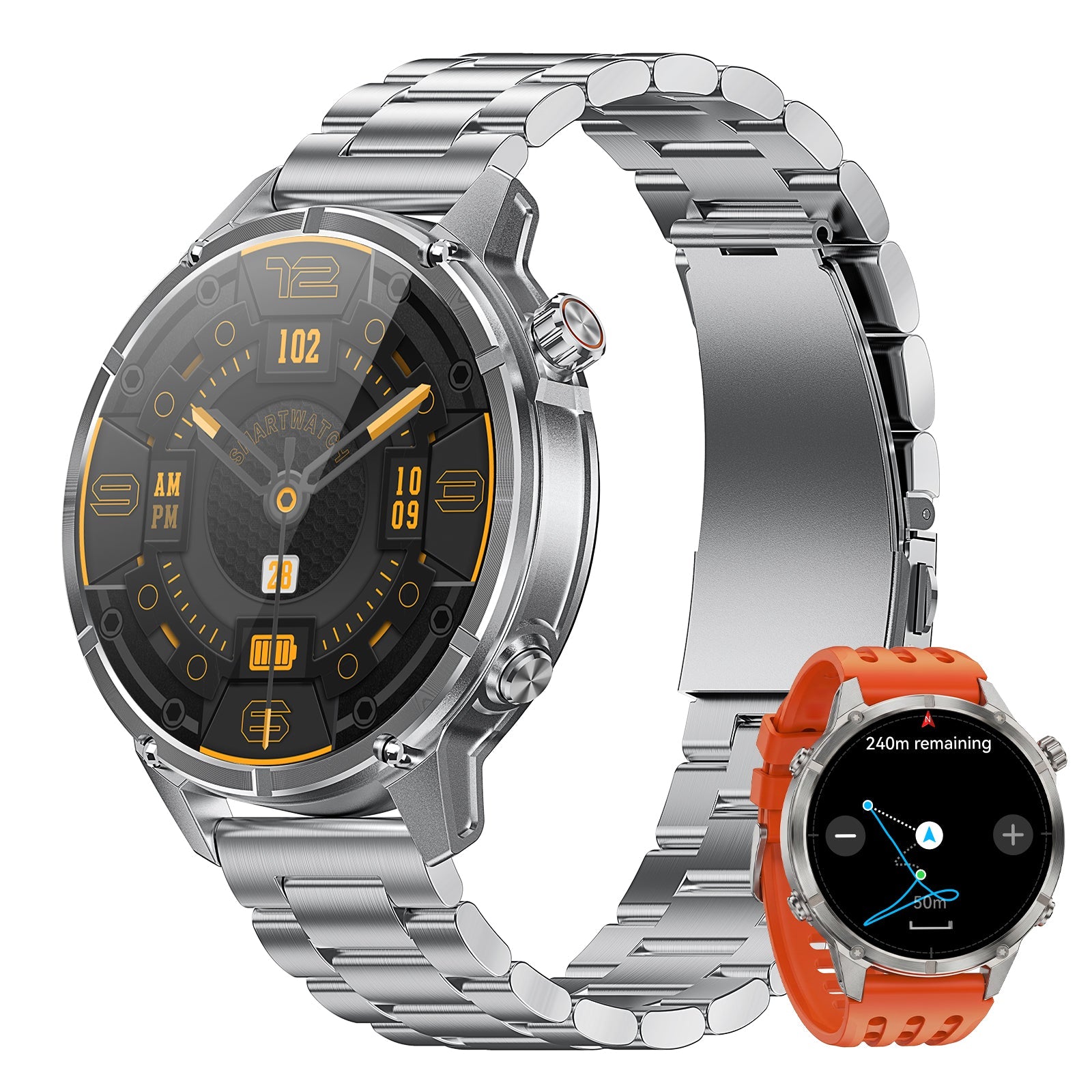
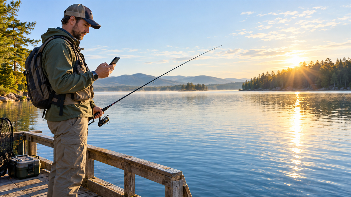
The phone remains the better screen for radar, maps, detailed hourly forecasts, tides and official alerts. A watch can reduce phone handling once the plan is made. It can keep time visible, record a route and add local direction, pressure or altitude context, depending on the model.


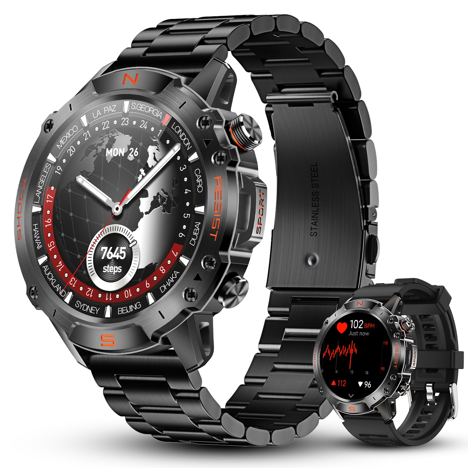
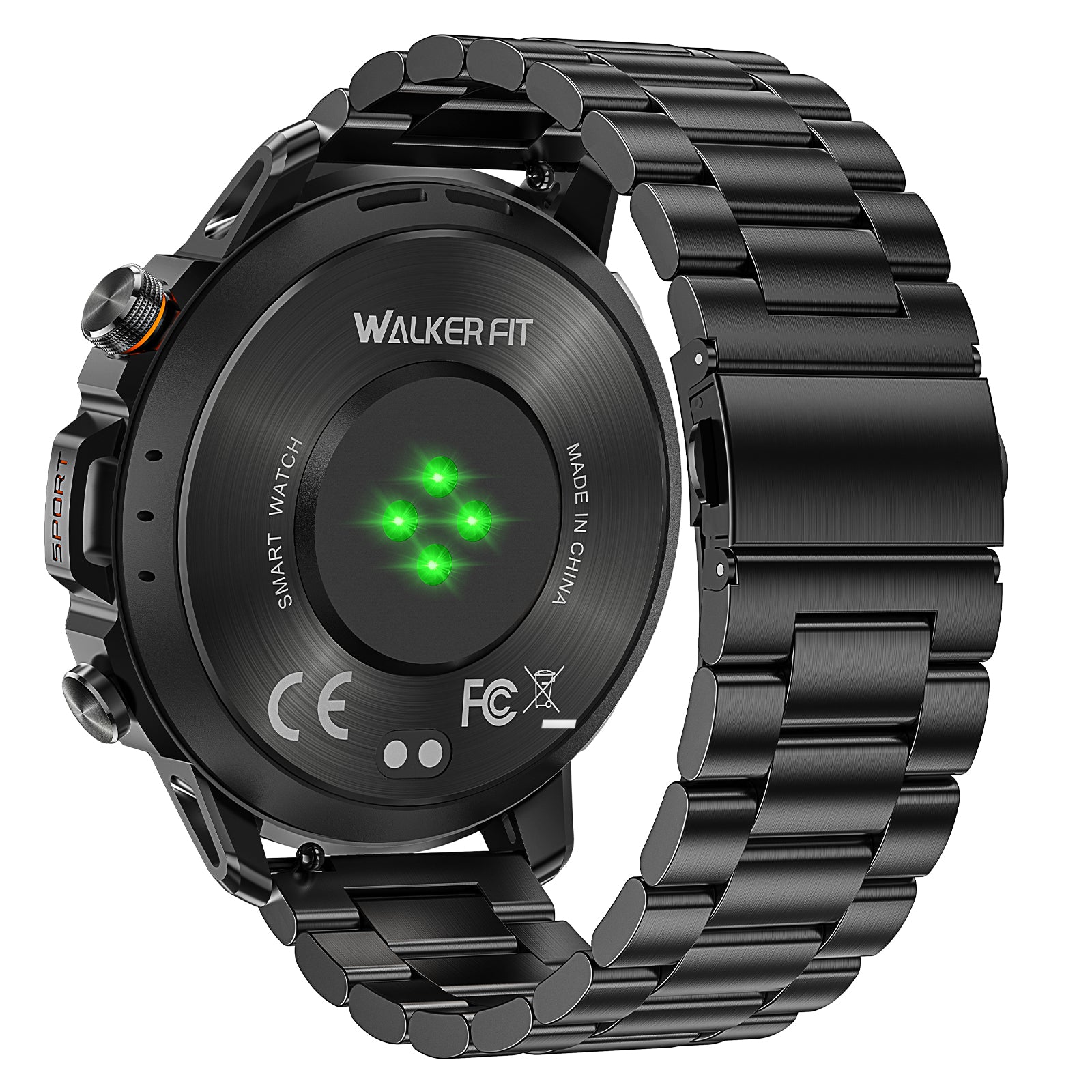
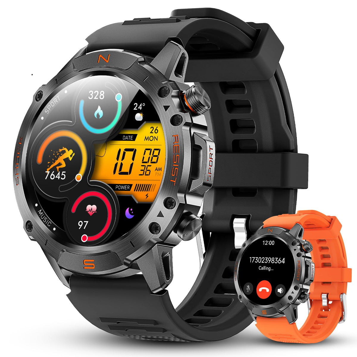
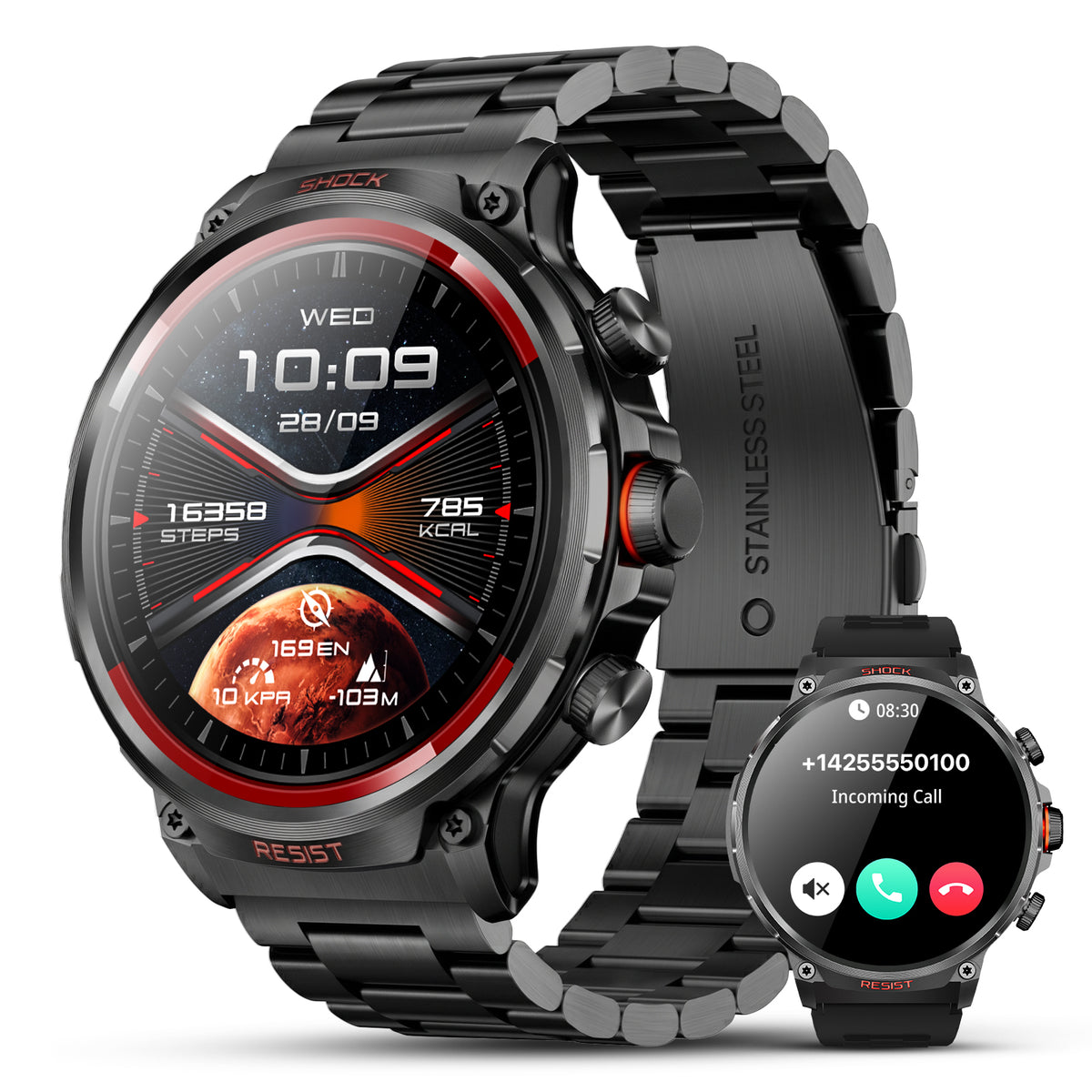
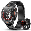
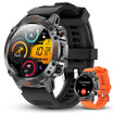
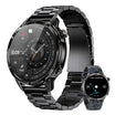
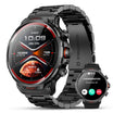
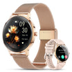
Motion 6 GPS
Use built-in multi-satellite GPS, route recording, compass, barometer and altimeter for local outdoor context, plus health, activity, sleep, calling, music and notifications.
$129.90$162.38
Motion 6 GPS does not replace a marine forecast, weather radar or dedicated fishing forecast app. It also should not be described as automatically syncing with third-party fishing apps unless that connection is independently confirmed.

Frequently asked questions
Which fishing forecast app is most accurate?
No app is universally most accurate for every water and variable. Compare the location, source, update time and hourly conditions against official information and what you observe.
Do fishing bite forecasts really work?
They can organize weather, moon and water data, but they do not guarantee fish activity. Species, season, habitat, pressure and angler decisions still matter.
Can I use a fishing forecast app without service?
Only partly, and it depends on the app. Download required information before leaving and test the exact screens in airplane mode.
Is a weather app enough for fishing?
It may be enough for a simple local shore trip. Coastal, river and boat trips often need tide, flow, wave, visibility or marine information too.