


First, separate tide from current
A tide table tells you when the water level is predicted to be high or low at a station. A current prediction tells you when water may flow fastest, slow down, or change direction. Those are related ideas, but they are not the same thing.
This difference matters. High tide at a harbor does not guarantee slack water at a nearby inlet. A narrow pass may keep moving after the listed high tide. A back creek may react later than the open coast. NOAA publishes separate tide and current predictions because local shoreline shape, depth, and channel layout change the timing.
When anglers say “fish the moving tide,” they usually mean they want enough current to move food, position bait, and create edges. That does not mean the strongest possible current is always best. Heavy flow can make a lure hard to control and may make a small boat or slippery bank unsafe.
High, low, incoming, or outgoing: what changes?
| Tide stage | What changes | Good places to inspect | Main caution |
|---|---|---|---|
| Incoming | Water rises and reaches new cover. | Flooded grass edges, creek mouths, shallow flats. | Do not let rising water cut off your return path. |
| High | Maximum water depth opens access. | Shoreline cover, docks, mangrove edges. | Fish may spread out, so search water can grow. |
| Outgoing | Water drains toward channels and openings. | Ditches, cuts, points, bridge flow, drop-offs. | Exposed mud and rocks can make footing worse. |
| Low | Structure and channels become easier to see. | Holes, bars, oyster edges, remaining deep water. | Access may disappear for boats and shore anglers. |
Incoming tide: follow the new water
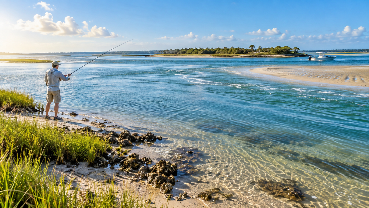
As water rises, bait and fish can move into places that were too shallow a short time earlier. On a marsh edge, that may mean grass pockets. On a beach, it may mean a deeper trough close to shore. At a rocky point, it may bring flow across a shelf.
Do not assume every inch of rising water is equally productive. Look for the first useful connection between deep water and shallow cover. A small drain that starts flowing can be more important than the tide label itself.
High tide: useful access, wider search
High tide can be excellent when fish move close to cover that is dry at lower water. It can also make a shallow launch usable. The tradeoff is that fish may have more room. If a flat becomes one large sheet of water, look for smaller differences: a grass point, shade line, dock post, cut, or bottom change.
Outgoing tide: find the drain
Falling water often collects movement into clear paths. Small creeks empty into larger channels. Water leaves flooded grass. Bait may pass a point, culvert, bridge opening, or deeper edge. These places give an angler a reason to wait rather than cast everywhere.
Current can become too fast in a narrow inlet. Move to the edge of the main flow, use heavier tackle when appropriate, or choose a safer bank. A useful fishing window is one you can control.
Low tide: learn the water
Low tide is not only a fishing phase. It is a map made visible. You may see a sandbar, shell bed, rock line, ditch, or deep pocket that disappears later. Take a photo from a safe public position and note where the remaining flow runs. Return when the water starts moving across that structure.

Choose the tide by your fishing place
Surf and beach fishing
The beach changes with waves, sand, and recent storms. Instead of asking only for high or low tide, identify the troughs, cuts, points, and deeper color. Rising water may bring fish closer to shore. Lower water may help you see the shape of the beach. A moderate moving tide around dawn or evening can combine water movement with softer light, but safe surf and access come first.
Inlets, bridges, and tidal rivers
These areas can concentrate flow. Fish may hold beside a current seam rather than in the fastest water. Watch where smooth and broken water meet, where an eddy forms behind structure, or where bait repeatedly crosses one line. Local current predictions are more useful here than assuming the listed high tide equals slack water.

Marshes, flats, and shallow creeks
Water depth controls access. An incoming tide can let fish and bait enter shallow cover. An outgoing tide can pull them back through small drains. Mark the depth you need to leave safely. If you paddle or use a small boat, give yourself more return margin than the perfect fishing plan seems to require.
A five-step tide plan you can repeat
- Choose the closest useful station. Use an official NOAA station that matches your coast or waterway as closely as possible.
- Check both height and movement. Read high and low predictions, then use current predictions where strong tidal flow matters.
- Pick a two- to three-hour window. Arrive before the phase you want so you can observe the change instead of chasing it.
- Check wind, rain, waves, and access. Weather can raise or lower observed water and can make a normal tide unsafe.
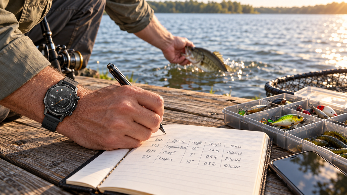
- Write down what happened. Record the station, tide stage, current direction, water clarity, catch, and blank periods.
How to build a local answer instead of copying a tide myth
Start with one place you can fish often. Try the last half of the incoming tide on one trip and the first half of the outgoing tide on another. Keep season, lure, and area as similar as practical. After several trips, compare where bait appeared, when current became manageable, and when fish used the edge.
This is slower than reading a universal “best tide” chart, but it creates an answer for your water. It also shows when a place is unfishable. That information saves time and may be more valuable than one good catch.
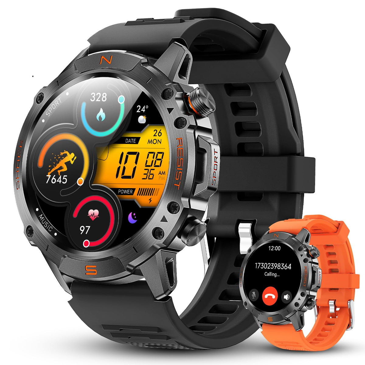
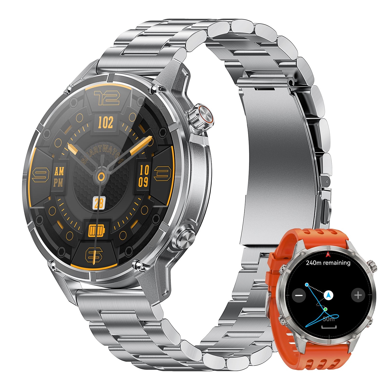
What Motion 6 GPS can add to a tide plan
A tide source on your phone should still provide the predicted water level and current. A watch can support the part that happens after you arrive: time, route, direction, and local outdoor context. That division keeps the plan clear.

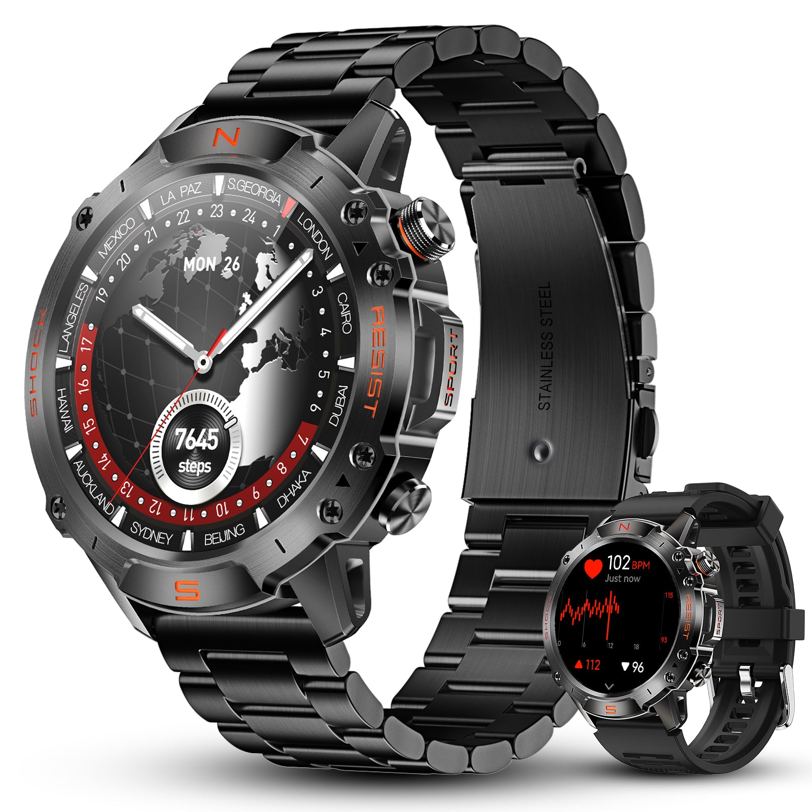
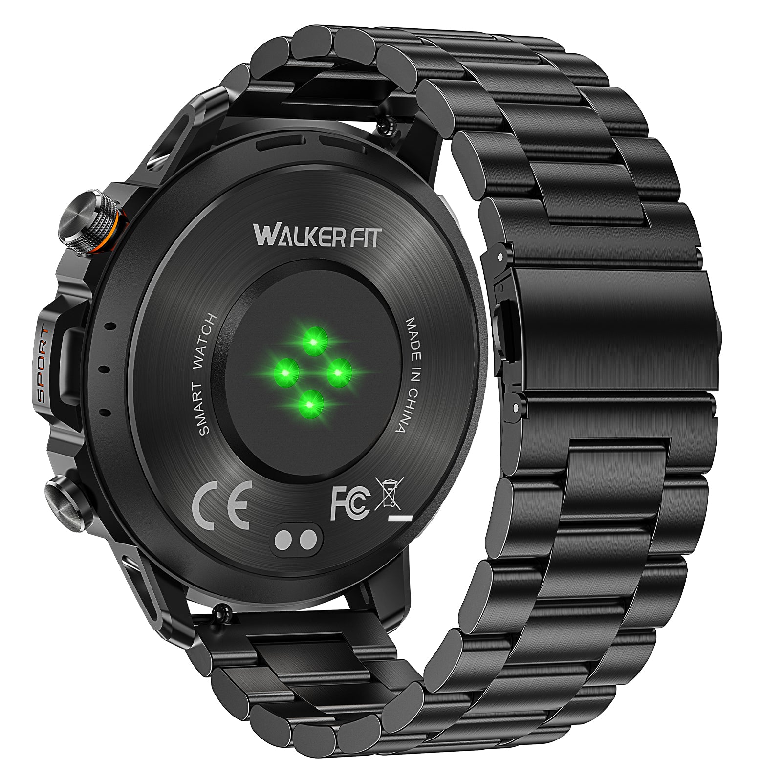
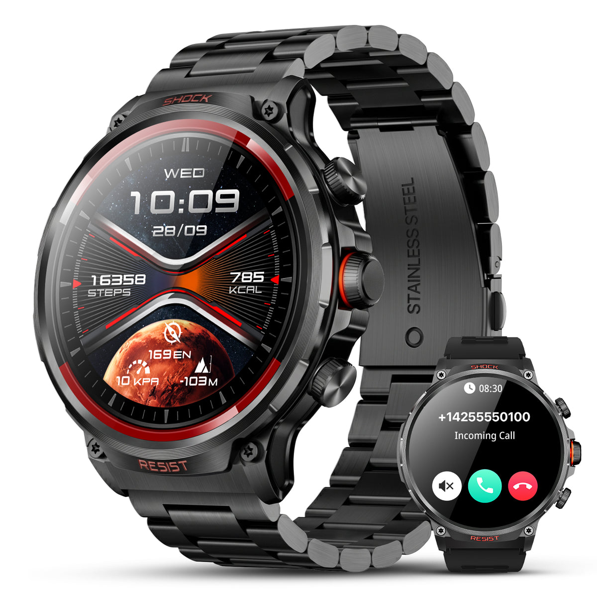
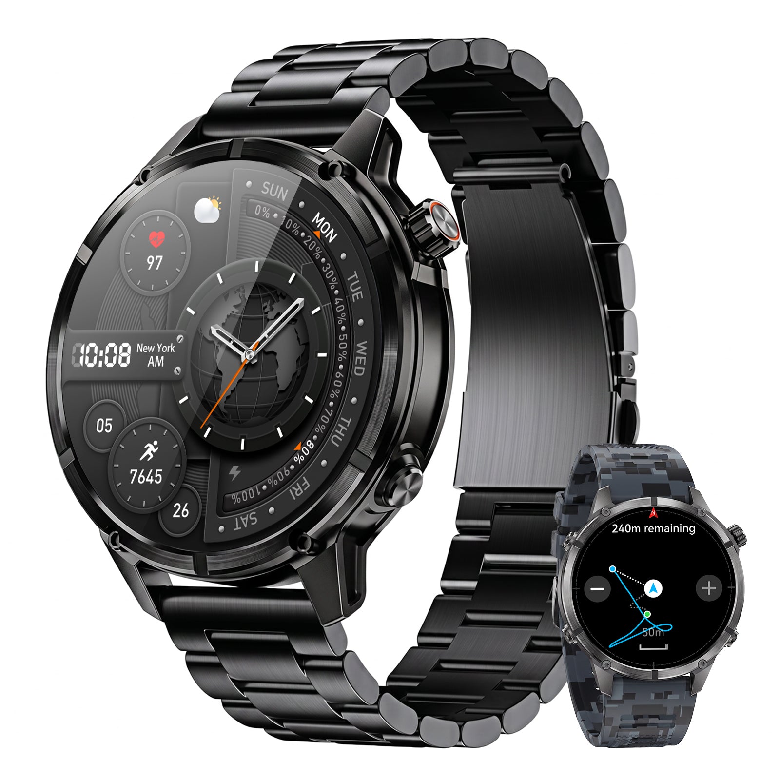
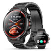
Motion 6 GPS
Record your route, check direction, and compare barometric pressure and altitude information with what you observe at the water. Tide tables and detailed maps stay on your phone.
$129.90
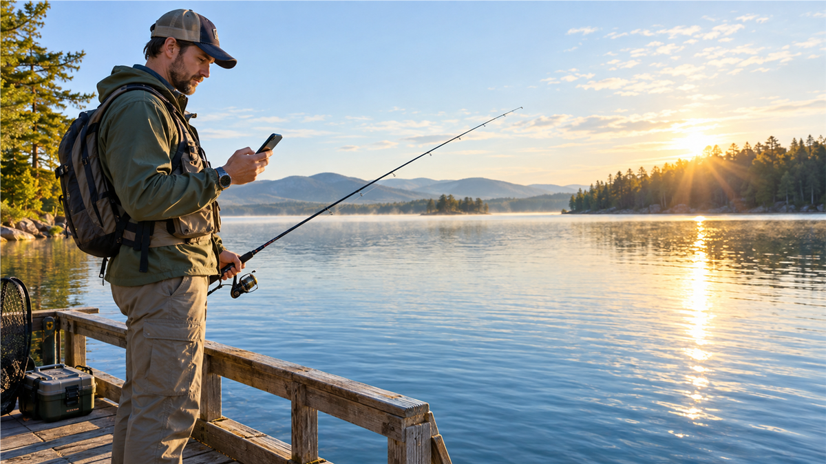
Before leaving the car, save the tide and weather information you need on your phone. During the trip, Motion 6 GPS can record a route and provide compass, barometer, and altimeter information. Afterward, add the route and observed tide phase to your fishing journal.
Frequently asked questions
Is incoming or outgoing tide better for fishing?
Either can work. Incoming water opens shallow cover, while outgoing water can concentrate bait near drains and channels. The better phase depends on the spot and target fish.
Can you catch fish at high tide?
Yes. High tide can put fish close to flooded shoreline cover and can improve access. Fish may also spread out, so focus on edges and structure.
Is low tide bad for fishing?
No. Low tide can expose useful structure and concentrate fish in remaining channels or holes. It may reduce access, so check your return route.
Does a tide table show tidal current?
Not always. Tide tables predict water height. NOAA publishes separate current predictions for maximum flood, maximum ebb, and slack water at current stations.