

Start with the map job
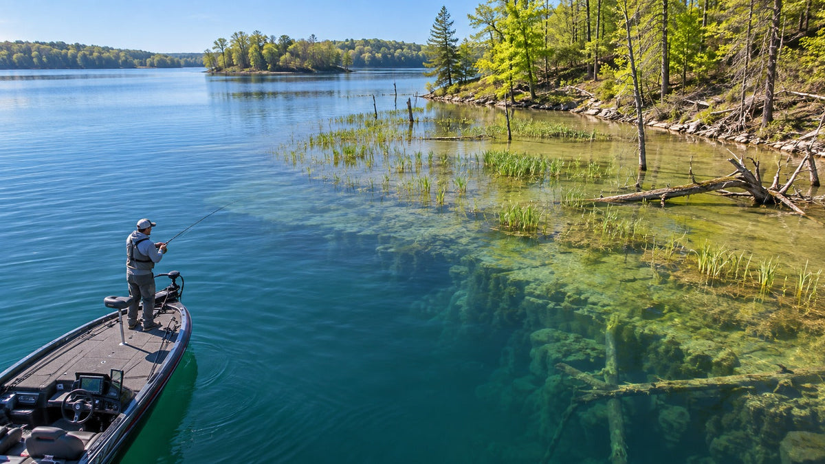
A fishing map can help find legal access, understand shoreline shape, save a waypoint, inspect depth contours or return along a recorded route. Those are different jobs. A crowdsourced catch map may help discover water, but it is not automatically a safe navigation chart. A contour map may reveal structure, but it does not prove fish are there today.
| Trip | Most useful map detail | Check before relying on it |
|---|---|---|
| Bank fishing | Public access, trail, parking, shoreline and property boundaries. | Local signs, current rules and a safe exit. |
| Freshwater boat | Depth contours, ramps, hazards, waypoints and track recording. | Chart date, water level and offline coverage. |
| River | Access, flow stations, bends, islands and return route. | Changing level, current and private land. |
| Coast | Appropriate nautical chart, tide/current context and route planning. | Official notices, marine forecast and required equipment. |

Four useful kinds of fishing map app
Fishing community maps
Fishbrain combines waters, public catches, species filters, access information, depth layers and private waypoints. Its official pages state that anglers choose whether catch locations are public, water-name only or private. Community data can suggest where to investigate, but old or public catch pins do not confirm current access or conditions.
Fishing planning and log maps
FishAngler combines map locations, forecasts, waypoints and catch records, with some depth, weather and marine layers reserved for paid plans. ANGLR combines routes, waypoints, logs, conditions and optional map overlays. These tools suit anglers who want the map connected to a trip record.
Dedicated chart apps
Garmin’s Navionics Boating app focuses on marine and lake charts, routes, markers and downloadable detail. Garmin says previously downloaded charts, overlays, saved tracks, markers and routes can remain available offline on compatible devices, while downloads, weather, syncing and sharing need a connection.
General outdoor maps
A general map may be enough for a short shore walk when trail and land context matter more than fishing data. No app removes the need to confirm closures, ownership, regulations and conditions locally.
Run an offline test before the trip
- Download the exact area. Do not assume opening it once saved every zoom level.
- Enable airplane mode. Reopen the app from a cold start.
- Zoom and pan. Check shoreline, contour and access details.
- Confirm device GPS. A phone or tablet without an internal GPS receiver may behave differently offline.
- Open saved items. Verify routes, markers and notes.
- Carry a backup. Save a screenshot or paper overview and tell someone the plan.

Protect private waypoints and catch locations
Exact coordinates are valuable personal data. Review the default sharing level before the first catch upload. Keep sensitive spots private, remove photo location metadata when appropriate, and avoid screenshots that expose a waypoint or home location.
Also check export options. A season of routes and notes should not be trapped in one account. If GPX or another standard export is offered, test it with a harmless waypoint before building the full archive.
Use the phone for maps and the watch for route context
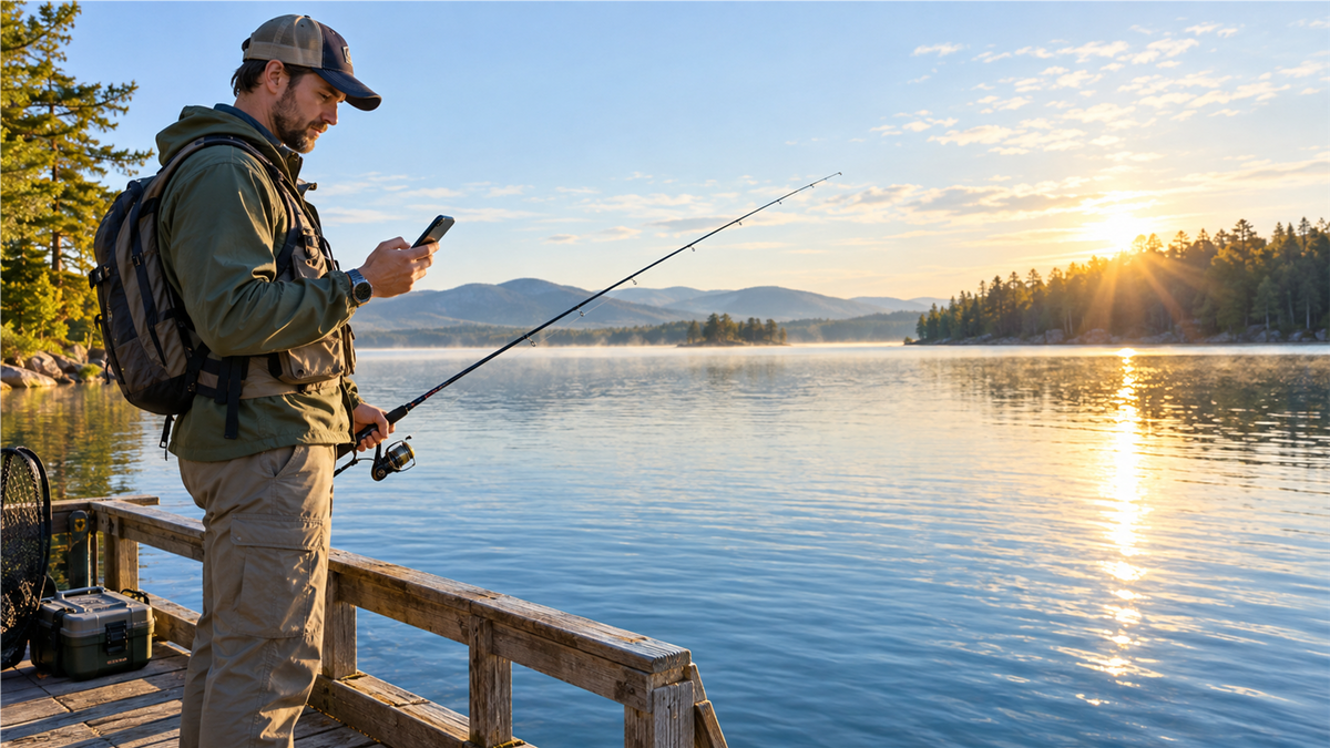
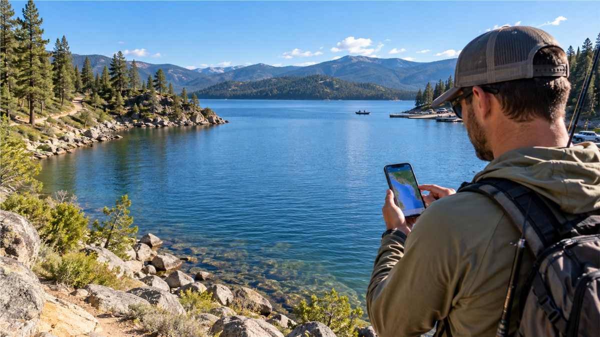
The phone is better for panning, zooming, reading layers and changing a route. A watch can record movement, show elapsed time and direction, and reduce how often the phone comes out. These roles complement each other.


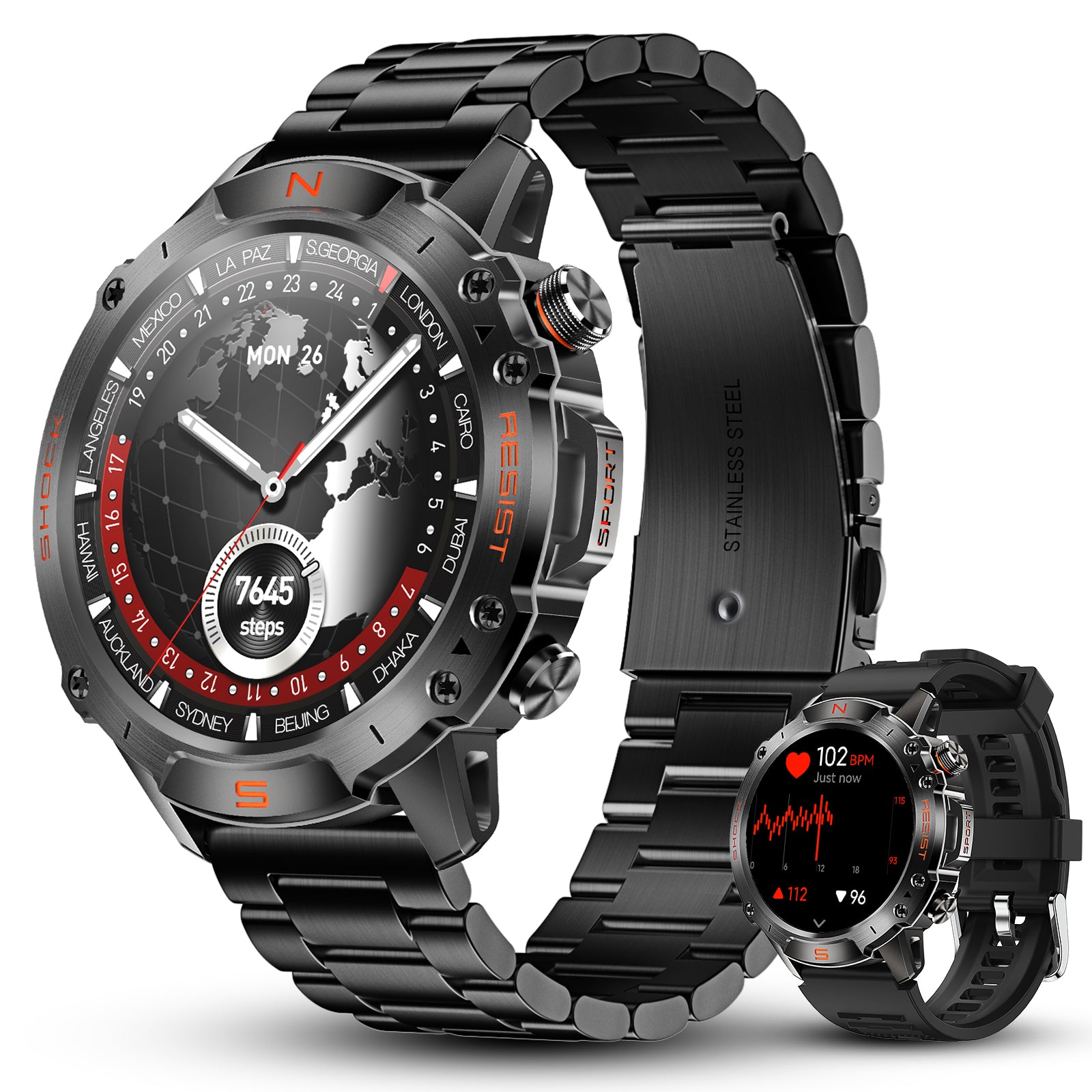
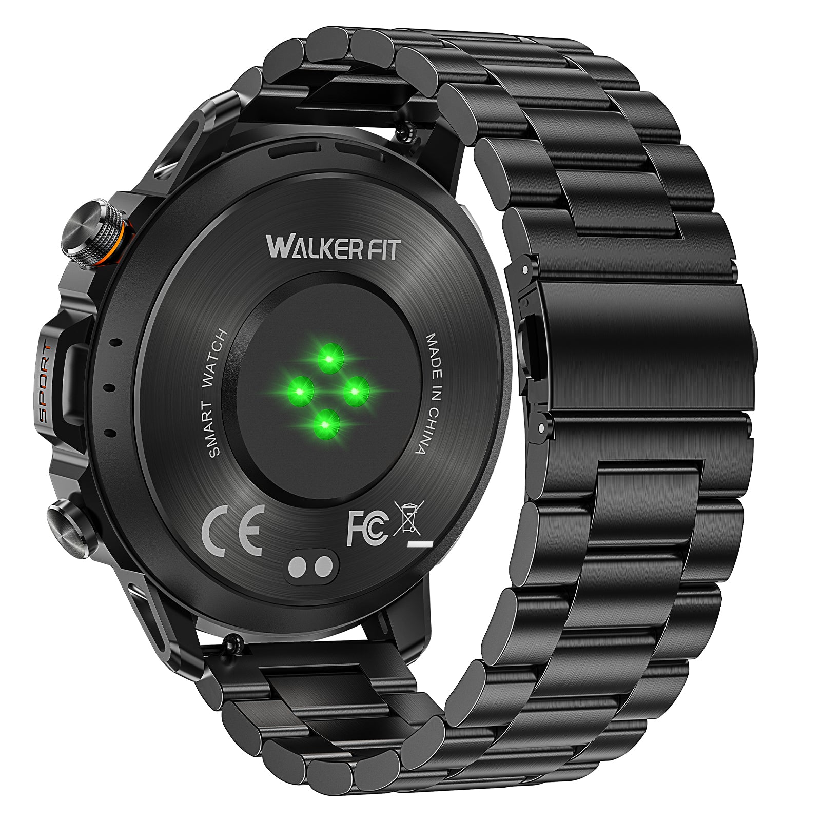
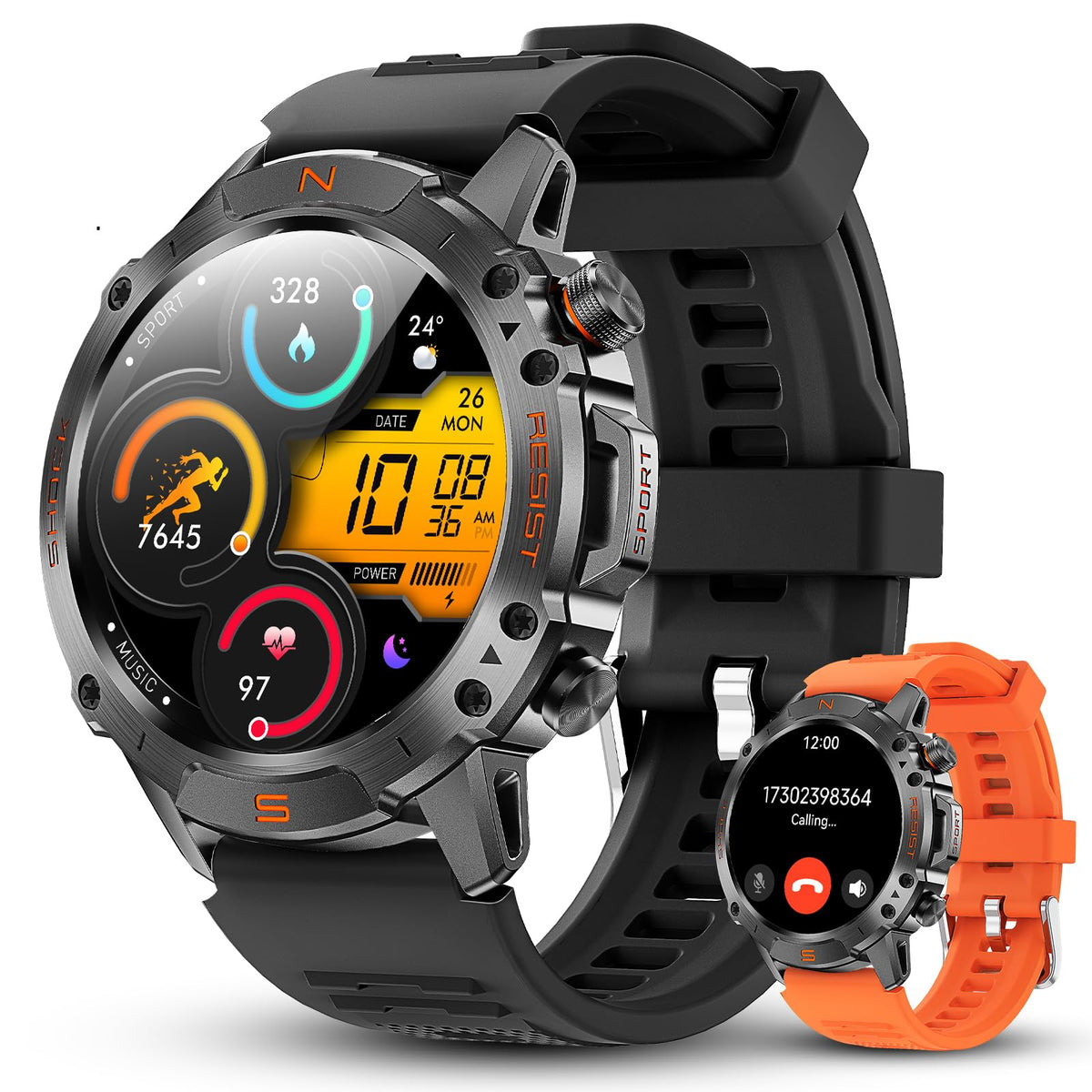
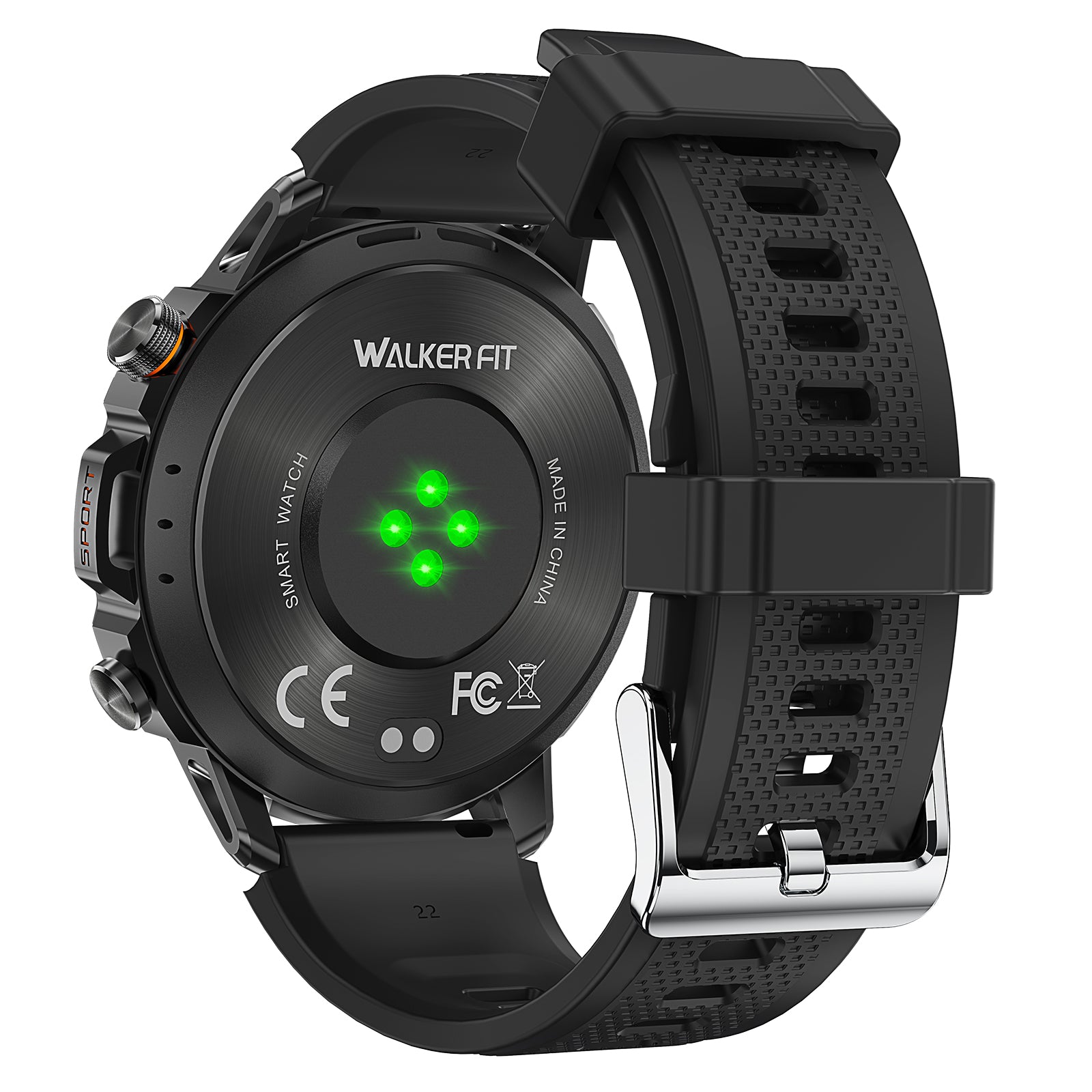
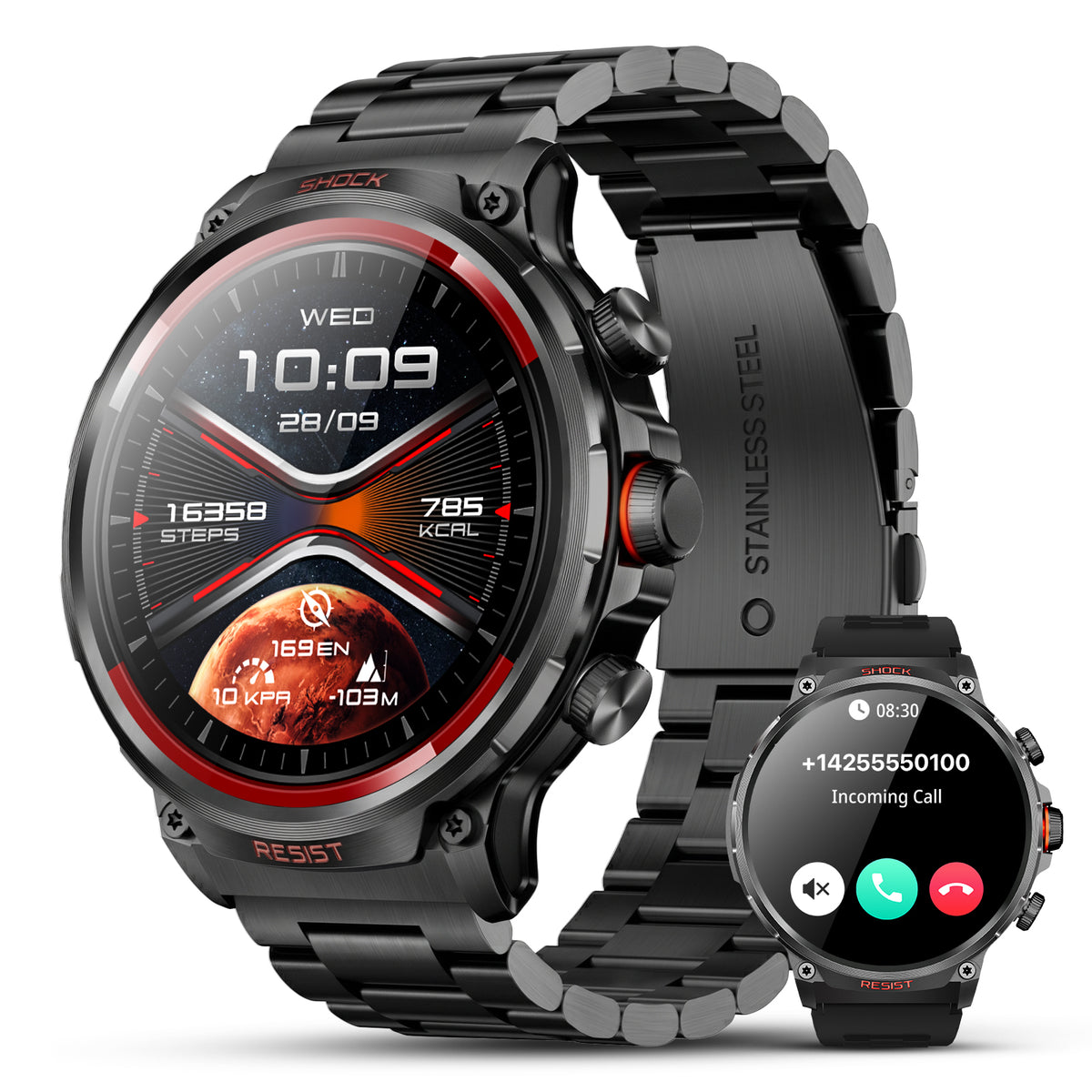
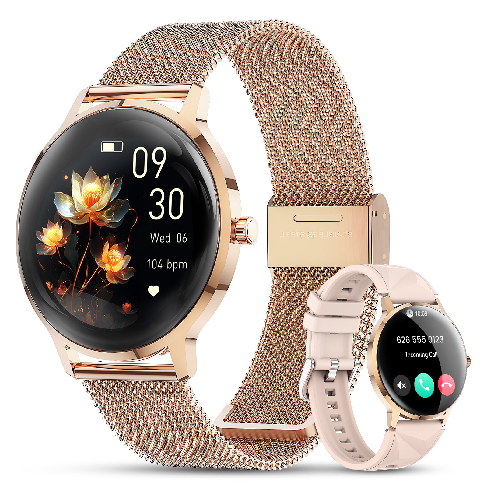
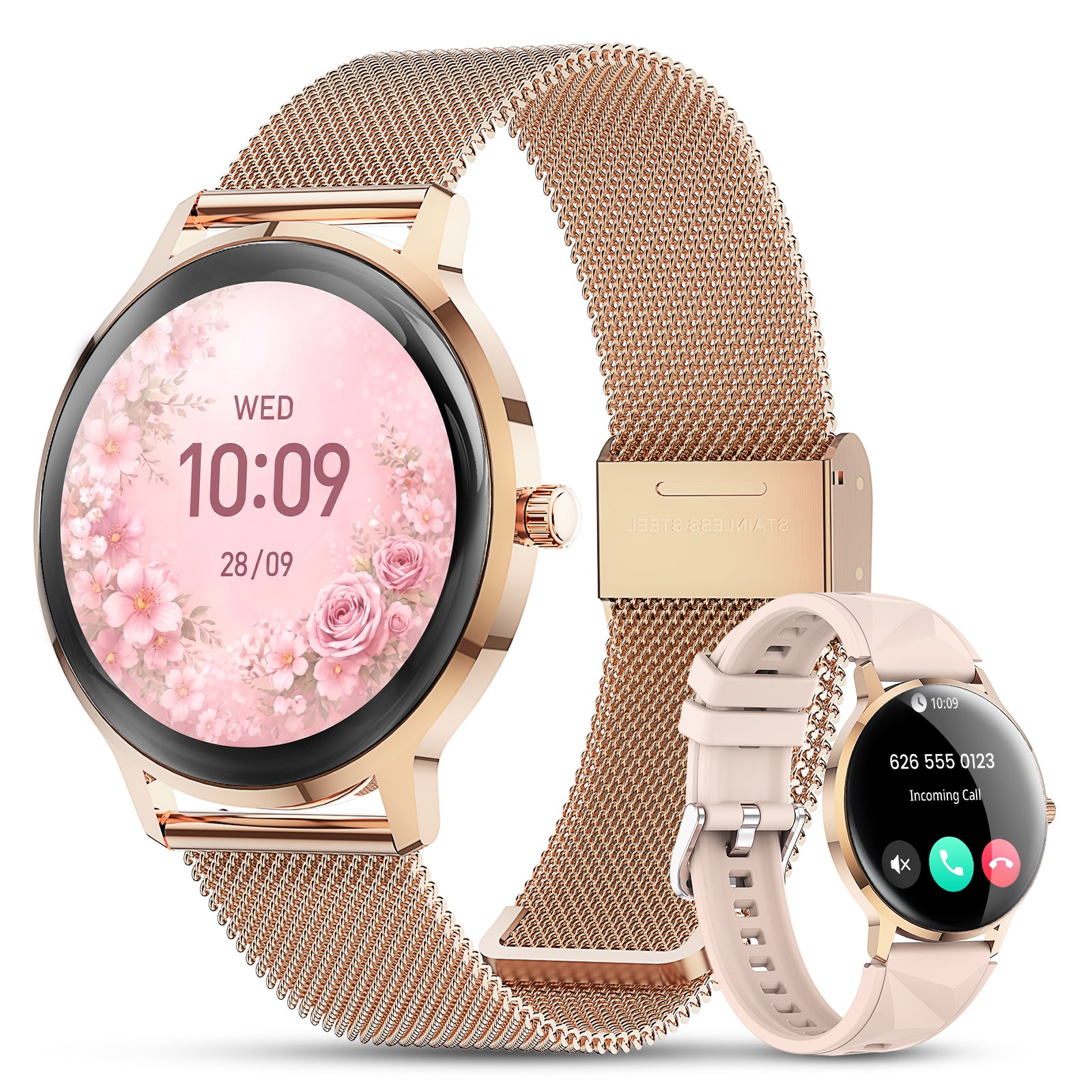
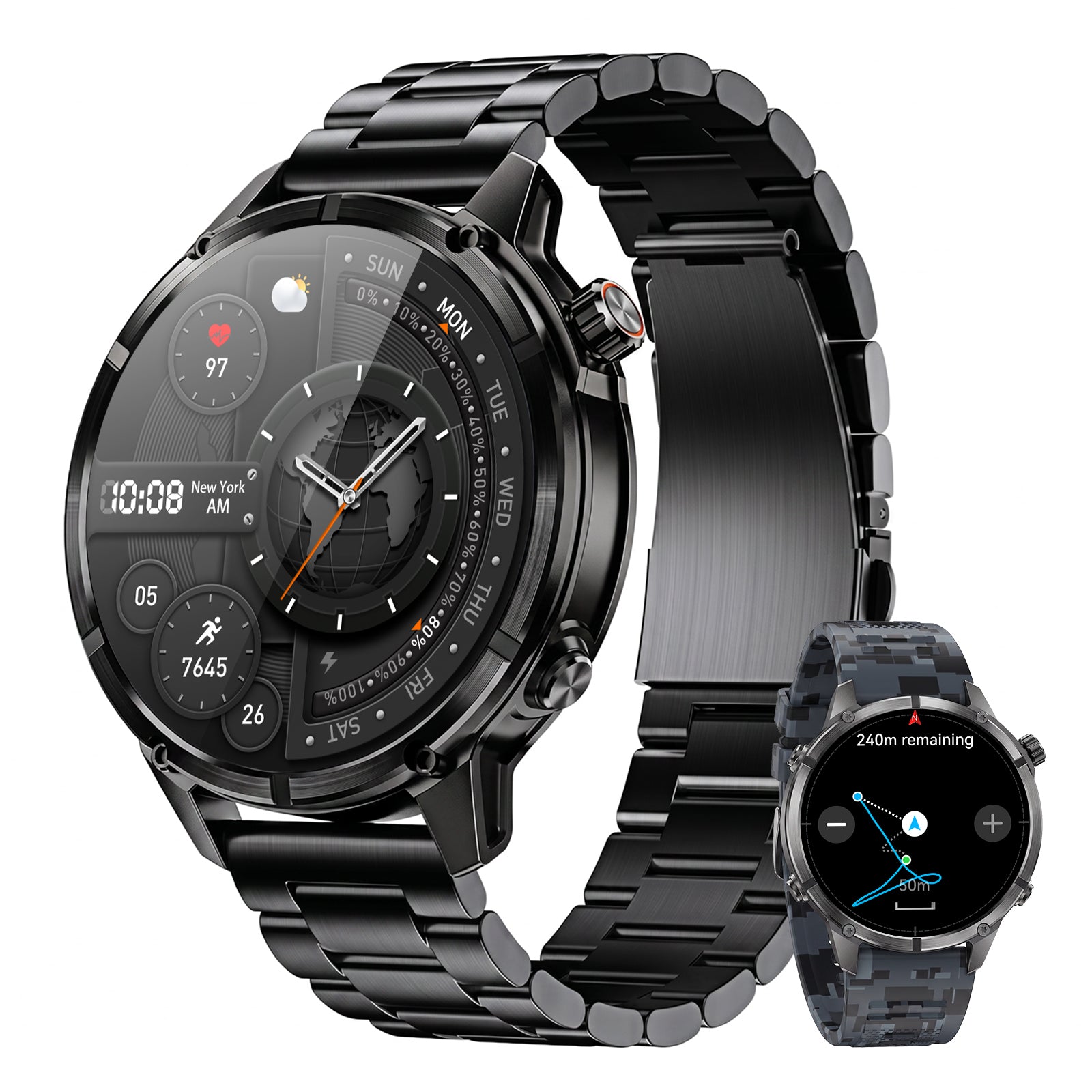
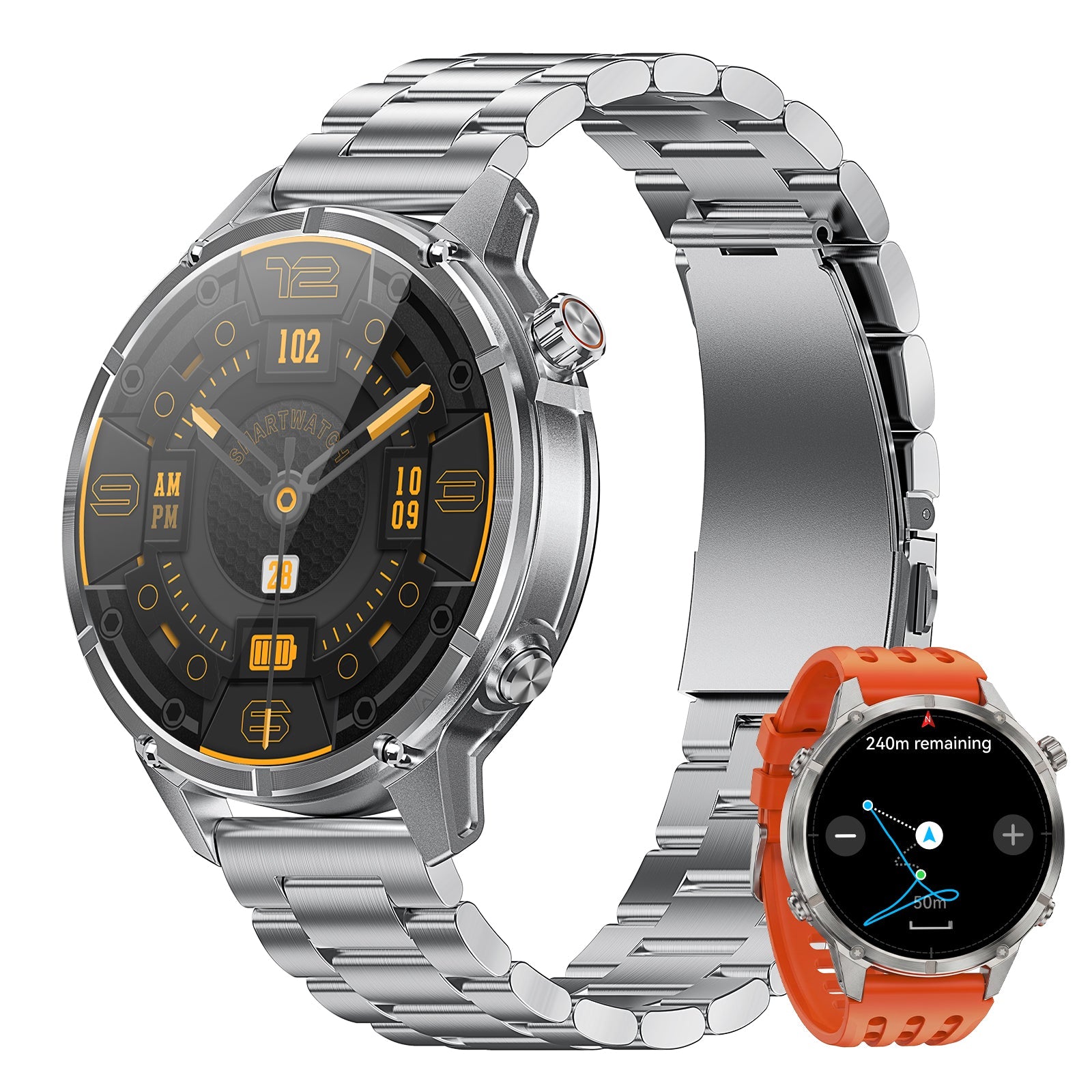
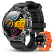
Motion 6 GPS
Use built-in multi-satellite GPS, route recording and compass for outdoor context, plus barometer, altimeter, health, activity, sleep, calling, music and notifications.
$129.90$162.38
Motion 6 GPS should not be described as showing downloadable fishing charts, offline map layers or turn-by-turn marine navigation. Use the map app and appropriate navigation equipment for those jobs.

Frequently asked questions
What is the best fishing map app?
The best choice depends on the job. Use public-access context for shore trips, depth and waypoints for lake planning, and appropriate official chart resources for navigation.
Do fishing map apps work without cell service?
Some downloaded maps, routes and waypoints do. Weather, downloads, sync and sharing often require service. Test the exact app in airplane mode.
Can a fishing app replace a chartplotter?
Not automatically. Device durability, GPS hardware, charts, power, mounting and legal requirements differ. Use equipment appropriate to the water and risk.
How do I keep fishing spots private?
Review every catch and waypoint sharing setting, keep exact locations private, remove photo metadata when needed and avoid public screenshots with visible coordinates.